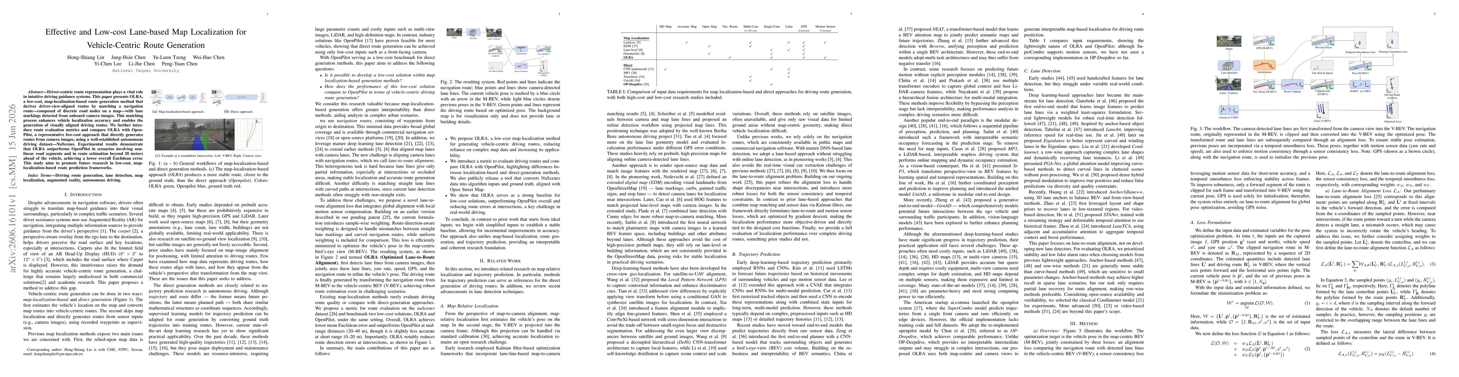
OLRA combines map-localization-based routing (M-BEV) with camera lane detection to jointly optimize vehicle pose on the map and align it with a navigation route. It fuses detected lane lines, yaw rate, speed, GPS, and navigation routes through a sample-weighted loss to minimize pose error and transform the map route into a vehicle-centric BEV for route generation.
Effective and Low-cost Lane-based Map Localization for Vehicle-Centric Route Generation
Publication
Metrics
Quick Answers
What methodology did the authors use?
OLRA combines map-localization-based routing (M-BEV) with camera lane detection to jointly optimize vehicle pose on the map and align it with a navigation route. It fuses detected lane lines, yaw rate, speed, GPS, and navigation routes through a sample-weighted loss to minimize pose error and transform the map route into a vehicle-centric BEV for route generation. More in Methodology →
What are the key results?
OLRA achieves lower mean Euclidean route error than OpenPilot on complex, non-linear road segments and at distances beyond 20 meters. — OLRA shows improved route accuracy at mid-range (20–40 m) and reduced routedirection errors at intersections compared to the direct-generation baseline. More in Key Results →
Why is this work significant?
Demonstrates that a low-cost map-localization-based framework can compete with a direct-generation approach by leveraging lane detections and map-route alignment, offering interpretability and robustness in challenging urban scenarios. More in Significance →
What are the main limitations?
Short-range (0–20 m) accuracy is slightly lower than the direct-generation baseline in some cases. — Performance depends on lane-detection quality and map availability, which may vary across environments. More in Limitations →
Abstract
Driver-centric route representation plays a vital role in intuitive driving guidance systems. This paper presents OLRA, a low-cost, map-localization-based framework that derives driver-view-aligned routes by matching map-based navigation routes with camera-detected lane markings. This alignment process mutually enhances vehicle localization accuracy and visual route consistency. To bridge the evaluation gap across different paradigms, we introduce practical route evaluation metrics and benchmark OLRA against OpenPilot, a representative direct-generation approach. Experimental results on the nuScenes dataset demonstrate that OLRA outperforms OpenPilot in complex road segments and in route estimation at distance beyond 20 meters, achieving lower overall Euclidean error. This study is expected to promote future research in low-cost, maplocalization-based route generation methods.
Key Findings, in focus
Seven facets of this paper, analysed and brought into focus by AI.
Demonstrates that a low-cost map-localization-based framework can compete with a direct-generation approach by leveraging lane detections and map-route alignment, offering interpretability and robustness in challenging urban scenarios.
- OLRA achieves lower mean Euclidean route error than OpenPilot on complex, non-linear road segments and at distances beyond 20 meters.
- OLRA shows improved route accuracy at mid-range (20–40 m) and reduced routedirection errors at intersections compared to the direct-generation baseline.
- A public tool is released to convert NuScenes data into algorithm inputs aligned with OpenStreetMap for reproducible evaluation.
Demonstrates that a low-cost map-localization-based framework can compete with a direct-generation approach by leveraging lane detections and map-route alignment, offering interpretability and robustness in challenging urban scenarios.
Introduction of OLRA: a low-cost lane-to-route alignment method that fuses lane detections, vehicle dynamics, GPS, and navigation routes to produce driver-centric route estimates; plus a route-evaluation metric and a public data-conversion tool for NuScenes to OpenStreetMap alignment.
First integrated lane-to-route alignment loss that jointly optimizes map-based pose with camera-lane features to generate vehicle-centric routes, enabling robust, low-cost route generation and systematic comparison with direct-generation approaches.
- Short-range (0–20 m) accuracy is slightly lower than the direct-generation baseline in some cases.
- Performance depends on lane-detection quality and map availability, which may vary across environments.
- Evaluation is anchored to NuScenes and a specific benchmark, potentially limiting generalization to other datasets.
- Investigate improving short-range accuracy through enhanced lane perception and fusion with additional sensor modalities.
- Extend the framework to handle more diverse map representations and road geometries.
- Develop more comprehensive route-quality metrics to capture user-perceived guidance fidelity.
Discussion 0