ArxivLens

Publication

Published: Mar 12, 2025
Categories: cs.CV, cs.RO

Metrics

Source: ArXiv

AI Quick Summary

This paper proposes a benchmark for Absolute Visual Localization (AVL) under low-altitude multi-view conditions, presenting a new dataset, AnyVisLoc, and a unified framework to test state-of-the-art AVL methods. The best method achieved 74.1% localization accuracy within 5m, highlighting challenges and providing valuable guidance for future research.

Quick Answers

What methodology did the authors use?

The research constructed a large-scale Low-altitude Multi-view dataset called AnyVisLoc, which includes 18,000 UAV images and 2.5D reference maps. A unified framework was proposed to integrate state-of-the-art AVL approaches and test their performance under Low-altitude Multi-view conditions. More in Methodology →

What are the key results?

The best combined method achieved 74.1% localization accuracy within 5m under Low-altitude, Multi-view conditions. — A novel retrieval metric called PDM@K was introduced, better aligning with UAV AVL task characteristics. More in Key Results →

Why is this work significant?

This benchmark revealed the challenges of Low-altitude, Multi-view UAV AVL and provided valuable guidance for future research, aiding in the development of more accurate localization systems for UAVs in GNSS-denied environments. More in Significance →

What are the main limitations?

The study was limited to specific urban scenes across China, which may not generalize well to other environments. — The performance of the methods was evaluated using a specific dataset, and their applicability to other datasets remains to be seen. More in Limitations →

Paper Preview

Abstract

Absolute Visual Localization (AVL) enables Unmanned Aerial Vehicle (UAV) to determine its position in GNSS-denied environments by establishing geometric relationships between UAV images and geo-tagged reference maps. While many previous works have achieved AVL with image retrieval and matching techniques, research in low-altitude multi-view scenarios still remains limited. Low-altitude Multi-view condition presents greater challenges due to extreme viewpoint changes. To explore the best UAV AVL approach in such condition, we 
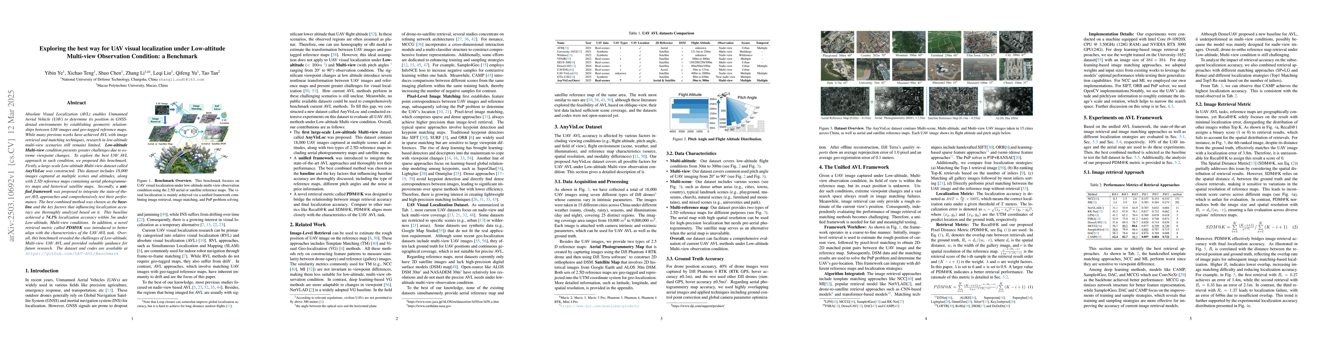
proposed this benchmark. Firstly, a large-scale Low-altitude Multi-view dataset called AnyVisLoc was constructed. This dataset includes 18,000 images captured at multiple scenes and altitudes, along with 2.5D reference maps containing aerial photogrammetry maps and historical satellite maps. Secondly, a unified framework was proposed to integrate the state-of-the-art AVL approaches and comprehensively test their performance. The best combined method was chosen as the baseline and the key factors that influencing localization accuracy are thoroughly analyzed based on it. This baseline achieved a 74.1% localization accuracy within 5m under Low-altitude, Multi-view conditions. In addition, a novel retrieval metric called PDM@K was introduced to better align with the characteristics of the UAV AVL task. Overall, this benchmark revealed the challenges of Low-altitude, Multi-view UAV AVL and provided valuable guidance for future research. The dataset and codes are available at https://github.com/UAV-AVL/Benchmark

Key Findings, in focus

Seven facets of this paper, analysed and brought into focus by AI.

AI-generated · verify against source Generated Jun 10, 2025
In focus · one-line synthesis

This benchmark revealed the challenges of Low-altitude, Multi-view UAV AVL and provided valuable guidance for future research, aiding in the development of more accurate localization systems for UAVs in GNSS-denied environments.

01
MethodologyHow they did it

The research constructed a large-scale Low-altitude Multi-view dataset called AnyVisLoc, which includes 18,000 UAV images and 2.5D reference maps. A unified framework was proposed to integrate state-of-the-art AVL approaches and test their performance under Low-altitude Multi-view conditions.

02
ResultsWhat they found
  • The best combined method achieved 74.1% localization accuracy within 5m under Low-altitude, Multi-view conditions.
  • A novel retrieval metric called PDM@K was introduced, better aligning with UAV AVL task characteristics.
  • Drone-to-satellite retrieval approaches, such as CNN-based and transformer-based models, outperformed traditional template matching approaches.
03
SignificanceWhy it matters

This benchmark revealed the challenges of Low-altitude, Multi-view UAV AVL and provided valuable guidance for future research, aiding in the development of more accurate localization systems for UAVs in GNSS-denied environments.

04
Technical ContributionsWhat's new technically

The introduction of a unified AVL framework for integrating and testing various image retrieval and matching methods under Low-altitude Multi-view conditions, along with a novel retrieval metric PDM@K.

05
NoveltyWhat sets it apart

This research provides a comprehensive benchmark for UAV visual localization in Low-altitude Multi-view conditions, introducing a novel retrieval metric PDM@K and analyzing the performance of state-of-the-art AVL approaches, which has not been extensively studied before.

06
LimitationsWhat to be cautious about
  • The study was limited to specific urban scenes across China, which may not generalize well to other environments.
  • The performance of the methods was evaluated using a specific dataset, and their applicability to other datasets remains to be seen.
07
Future WorkWhere it goes next
  • Explore the applicability of the proposed methods and metrics on diverse datasets and environments.
  • Investigate the impact of varying weather conditions and lighting on the performance of UAV AVL systems.

Paper Details

Paper ID: 2503.10692
Categories:
cs.CV cs.RO

How to Cite This Paper

Reference manager: RIS EndNote


No references found for this paper.


Discussion 0

This website uses cookies to ensure you get the best experience. Learn more