Summary

Intra-class terrain differences such as water content directly influence a vehicle's ability to traverse terrain, yet RGB vision systems may fail to distinguish these properties. Evaluating a terrain's spectral content beyond red-green-blue wavelengths to the near infrared spectrum provides useful information for intra-class identification. However, accurate analysis of this spectral information is highly dependent on ambient illumination. We demonstrate a system architecture to collect and register multi-wavelength, hyperspectral images from a mobile robot and describe an approach to reflectance calibrate cameras under varying illumination conditions. To showcase the practical applications of our system, HYPER DRIVE, we demonstrate the ability to calculate vegetative health indices and soil moisture content from a mobile robot platform.

AI Key Findings

Generated Oct 01, 2025

Methodology

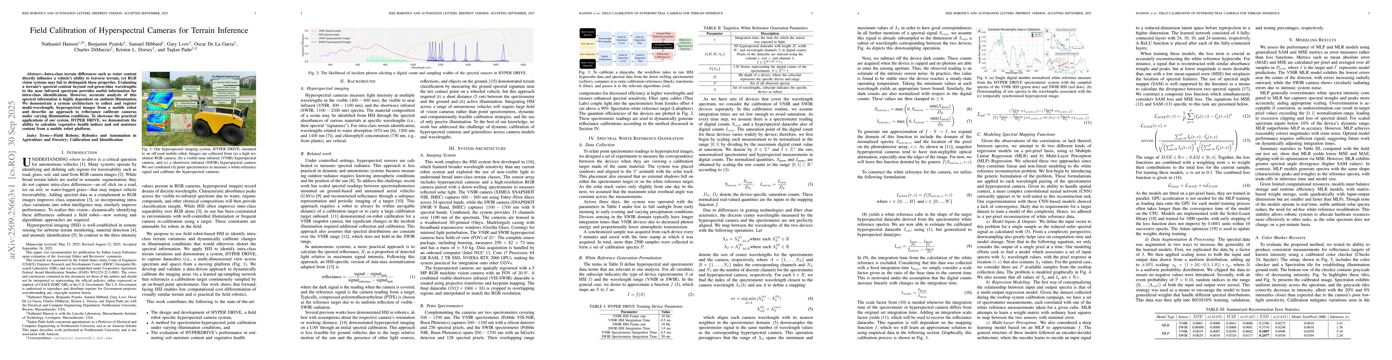
The research presents a system architecture for field calibration of hyperspectral cameras using a mobile robot platform. It combines hyperspectral imaging with spectrometer data to dynamically generate reflectance calibrations under varying illumination conditions. The methodology includes spectral white reference generation, spectral mapping function modeling using regression techniques (MLR and MLP), and terrain parameter estimation for vegetative health and soil moisture content.

Key Results

  • The system successfully calculates vegetative health indices and soil moisture content from a mobile robot platform, demonstrating practical applications of hyperspectral data in terrain inference.
  • Calibration using spectral white references stabilizes VNIR and SWIR reflectance measurements, reducing errors caused by ambient illumination variations.
  • MLP models outperform MLR in spectral mapping tasks, showing better handling of complex spectral variations and improving terrain parameter estimation accuracy.

Significance

This research enables reliable terrain analysis for autonomous vehicles by providing a computationally efficient framework for hyperspectral sensing. It addresses critical challenges in field robotics, such as illumination variation compensation and accurate environmental property estimation, which are essential for navigation and decision-making in unstructured environments.

Technical Contribution

The technical contribution lies in the joint calibration of spectrometers and hyperspectral cameras, enabling consistent reflectance measurements without calibration targets. The work also introduces a normalized spectral index for soil moisture estimation based on SWIR bands.

Novelty

The novelty includes field-based radiometric calibration without targets, the use of spectral white references for dynamic illumination compensation, and the application of hyperspectral data for both terrain classification and parameter estimation in robotics.

Limitations

  • The calibration process requires a stationary white reference tile, which may not be feasible in all field conditions.
  • Spectral indices like NDVI and SMC may not capture complex terrain interactions and require further validation in diverse environments.

Future Work

  • Extending the methodology to other soil types and environmental conditions to improve generalization.
  • Developing autonomous strategies for real-time terrain analysis and response to environmental changes.
  • Integrating VNIR bands for soil moisture estimation in organic-rich surfaces to enhance accuracy.

Paper Details

PDF Preview

Download PDF

Comments (0)

This website uses cookies to ensure you get the best experience. Learn more