Fusion of Urban TanDEM-X raw DEMs using variational models
Publication
Metrics
Paper Preview
Abstract
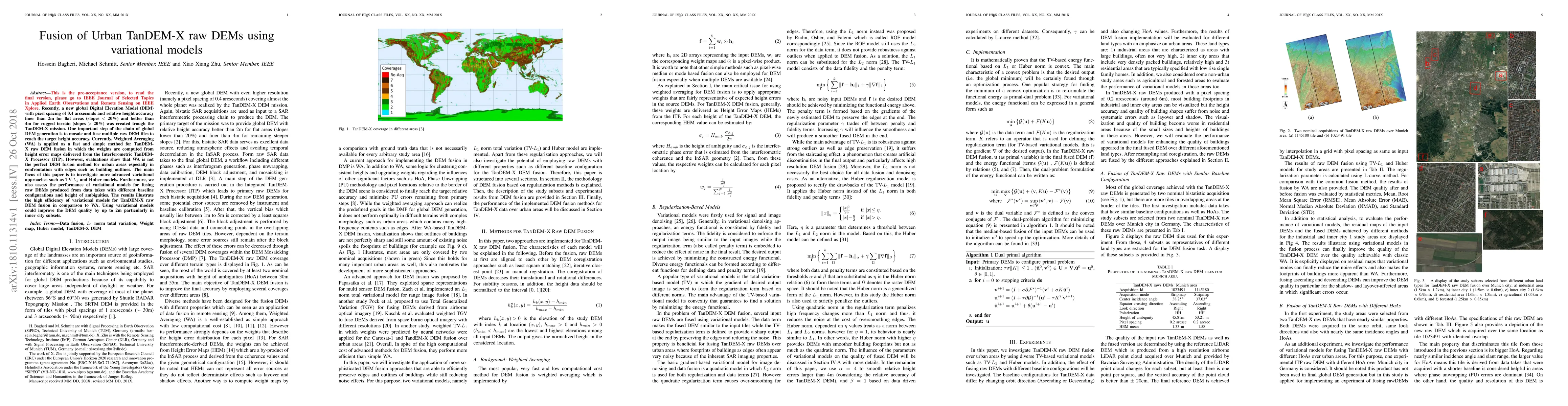
Recently, a new global Digital Elevation Model (DEM) with pixel spacing of 0.4 arcseconds and relative height accuracy finer than 2m for flat areas (slopes < 20%) and better than 4m for rugged terrain (slopes > 20%) was created through the TanDEM-X mission. One important step of the chain of global DEM generation is to mosaic and fuse multiple raw DEM tiles to reach the target height accuracy. Currently, Weighted Averaging (WA) is applied as a fast and simple method for TanDEM-X raw DEM fusion in which the weights are computed from height error maps delivered from the Interferometric TanDEM-X Processor (ITP). However, evaluations show that WA is not the perfect DEM fusion method for urban areas especially in confrontation with edges such as building outlines. The main focus of this paper is to investigate more advanced variational approaches such as TV-L1 and Huber models. Furthermore, we also assess the performance of variational models for fusing raw DEMs produced from data takes with different baseline configurations and height of ambiguities. The results illustrate the high efficiency of variational models for TanDEM-X raw DEM fusion in comparison to WA. Using variational models could improve the DEM quality by up to 2m particularly in inner-city subsets.
AI Key Findings
Get AI-generated insights about this paper's methodology, results, significance, and more — seven facets brought into focus.
Impact
Paper Details
PDF Preview
Key Terms
Citation Network
Current paper (gray), citations (green), references (blue)
Display is limited for performance on very large graphs.
Discussion 0