Generating real-time detailed ground visualisations from sparse aerial point clouds
Publication
Metrics
Paper Preview
Abstract
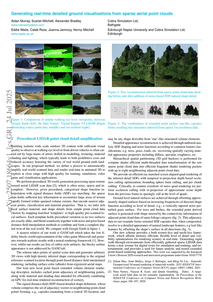
Building realistic wide scale outdoor 3D content with sufficient visual quality to observe at walking eye level or from driven vehicles is often carried out by large teams of artists skilled in modelling, texturing, material shading and lighting, which typically leads to both prohibitive costs and reduced accuracy honoring the variety of real world ground truth landscapes. In our proposed method, we define a process to automatically amplify real-world scanned data and render real-time in animated 3D to explore at close range with high quality for training, simulation, video game and visualisation applications.
AI Key Findings
Get AI-generated insights about this paper's methodology, results, significance, and more — seven facets brought into focus.
Impact
Paper Details
Authors
PDF Preview
Citation Network
Current paper (gray), citations (green), references (blue)
Display is limited for performance on very large graphs.
Discussion 0