GeoAnchor introduces a text–latent interleaved framework that decomposes 3D spatial reasoning into three complementary latent components (position latents for object grounding, direction latents for relational orientation, and geometry latents for scene structure) and recombines them in a structured space for local-plus-global reasoning. It employs a four-stage collaborative training strategy: align with local 3D perception, jointly optimize local and global latents, refine latent representations with text-only supervision, and apply reinforcement learning with pattern-specific rewards to adapt latent token selection. The approach is built on top of Qwen3-VL-2B and tested across SPAR-Bench, SPBench, and View Spatial Bench, demonstrating strong performance and generalization.
GeoAnchor: Collaborative Reasoning via Latent Decomposition for 3D Spatial Understanding
Publication
Metrics
AI Quick Summary
GeoAnchor introduces a three-part latent framework for 3D understanding from 2D images, using position, direction, and geometry latents to ground objects, relate their orientation, and capture scene structure. A collaborative training strategy links local spatial perception to full 3D reasoning, yielding state-of-the-art results on diverse tasks and demonstrating strong generalization.
Quick Answers
What is "GeoAnchor: Collaborative Reasoning via Latent Decomposition for 3D Spatial Understanding" about?
GeoAnchor introduces a three-part latent framework for 3D understanding from 2D images, using position, direction, and geometry latents to ground objects, relate their orientation, and capture scene structure. A collaborative training strategy links local spatial perception to full 3D reasoning, yielding state-of-the-art results on diverse tasks and demonstrating strong generalization.
What methodology did the authors use?
GeoAnchor introduces a text–latent interleaved framework that decomposes 3D spatial reasoning into three complementary latent components (position latents for object grounding, direction latents for relational orientation, and geometry latents for scene structure) and recombines them in a structured space for local-plus-global reasoning. It employs a four-stage collaborative training strategy: align with local 3D perception, jointly optimize local and global latents,... More in Methodology →
What are the key results?
GeoAnchor achieves state-of-the-art performance on SPAR-Bench and SPBench benchmarks, with accuracy improvements of 21.2% and 18.0% over baselines respectively, and outperforms GPT-4o and Gemini-2.5-Flash by 13.6% and 7.1% in aggregated metrics. — A 10.7% improvement is observed on the out-of-domain View Spatial Bench, indicating robust generalization to unseen spatial reasoning tasks. More in Key Results →
Why is this work significant?
The paper demonstrates that a structured, multi-latent reasoning framework can better capture both local geometric cues and global scene context, enabling more accurate and interpretable 3D spatial understanding from 2D images. The collaborative training paradigm facilitates a gradual progression from local perception to holistic 3D reasoning, offering a path toward more generalizable MLLMs in geometry-rich tasks. More in Significance →
What are the main limitations?
Performance results are reported primarily on synthetic benchmarks; real-world deployment may face domain shift and sensor noise not fully captured in the datasets. — The method relies on large backbone models and multi-stage training which may incur significant computational cost and training time. More in Limitations →
Paper Preview
Abstract
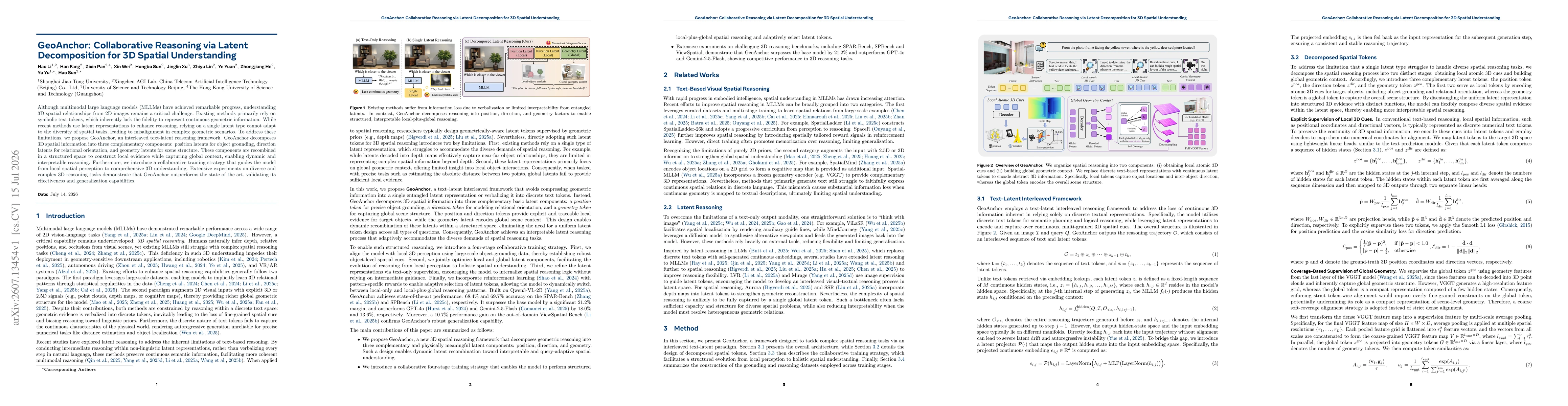
Although multimodal large language models (MLLMs) have achieved remarkable progress, understanding 3D spatial relationships from 2D images remains a critical challenge. Existing methods primarily rely on symbolic text tokens, which inherently lack the fidelity to represent continuous geometric information. While recent methods use latent representations to enhance reasoning, relying on a single latent type cannot adapt to the diversity of spatial tasks, leading to misalignment in complex geometric scenarios. To address these limitations, we propose GeoAnchor, an interleaved text-latent reasoning framework. GeoAnchor decomposes 3D spatial information into three complementary components: position latents for object grounding, direction latents for relational orientation, and geometry latents for scene structure. These components are recombined in a structured space to construct local evidence while capturing global context, enabling dynamic and interpretable reasoning. Furthermore, we introduce a collaborative training strategy that guides the model from local spatial perception to comprehensive 3D understanding. Extensive experiments on diverse and complex 3D reasoning tasks demonstrate that GeoAnchor outperforms the state of the art, validating its effectiveness and generalization capabilities.
OpenAlex
- Citations in OpenAlex
- 0
- Publication year
- 2026
- Access status
- Open access
Source: OpenAlex · Snapshot
Key Findings, in focus
Seven facets of this paper, analysed and brought into focus by AI.
The paper demonstrates that a structured, multi-latent reasoning framework can better capture both local geometric cues and global scene context, enabling more accurate and interpretable 3D spatial understanding from 2D images.
- GeoAnchor achieves state-of-the-art performance on SPAR-Bench and SPBench benchmarks, with accuracy improvements of 21.2% and 18.0% over baselines respectively, and outperforms GPT-4o and Gemini-2.5-Flash by 13.6% and 7.1% in aggregated metrics.
- A 10.7% improvement is observed on the out-of-domain View Spatial Bench, indicating robust generalization to unseen spatial reasoning tasks.
- Ablation studies show best results when local token length is 2 and global token length is 8, validating the importance of compact local Latent representations alongside richer global context.
The paper demonstrates that a structured, multi-latent reasoning framework can better capture both local geometric cues and global scene context, enabling more accurate and interpretable 3D spatial understanding from 2D images. The collaborative training paradigm facilitates a gradual progression from local perception to holistic 3D reasoning, offering a path toward more generalizable MLLMs in geometry-rich tasks.
We propose a novel three-component latent decomposition (position, direction, geometry) for 3D spatial reasoning, coupled with a four-stage collaborative training strategy that transitions from local perception to global understanding and leverages reinforcement learning for adaptive latent selection.
The work introduces a latent-interleaved, structured reasoning approach that decouples local grounding, relational orientation, and global scene structure into distinct latents, enabling dynamic recombination and improved interpretability over single-latent or token-based methods.
- Performance results are reported primarily on synthetic benchmarks; real-world deployment may face domain shift and sensor noise not fully captured in the datasets.
- The method relies on large backbone models and multi-stage training which may incur significant computational cost and training time.
- The reliance on latent token design may require task-specific tuning of token lengths and pooling resolutions for optimal results across diverse scenarios.
- Explore reducing computational overhead through more efficient latent representations or model architectures without sacrificing spatial reasoning accuracy.
- Extend GeoAnchor to handle dynamic scenes with temporal reasoning to capture motion and occlusion changes over time.
- Investigate automated latent token discovery to further reduce manual hyperparameter tuning of local/global token lengths and pooling scales.
Discussion 0