GeoHopNet: Hopfield-Augmented Sparse Spatial Attention for Dynamic UAV Site Location Problem
Publication
Metrics
AI Quick Summary
GeoHopNet is a novel deep reinforcement learning model for dynamic UAV site location, addressing computational complexity in large-scale urban problems. It introduces a distance-biased attention mechanism, K-nearest neighbor sparse attention, a Hopfield memory module, and memory regularization. GeoHopNet outperforms existing methods, solving 1,000-node instances in under 0.1 seconds with a 0.22% optimality gap, and improves solution quality by 22.2% on 100-node instances compared to the ADNet baseline.
Paper Preview
Abstract
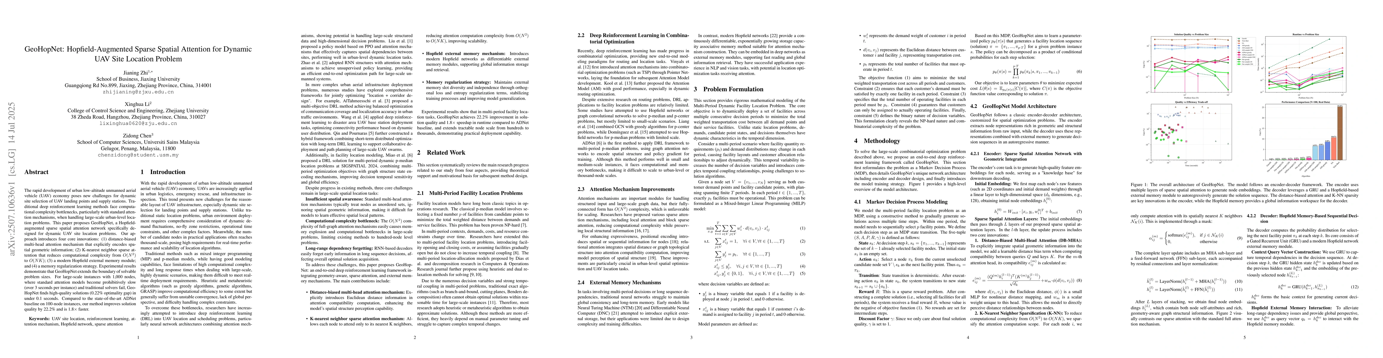
The rapid development of urban low-altitude unmanned aerial vehicle (UAV) economy poses new challenges for dynamic site selection of UAV landing points and supply stations. Traditional deep reinforcement learning methods face computational complexity bottlenecks, particularly with standard attention mechanisms, when handling large-scale urban-level location problems. This paper proposes GeoHopNet, a Hopfield-augmented sparse spatial attention network specifically designed for dynamic UAV site location problems. Our approach introduces four core innovations: (1) distance-biased multi-head attention mechanism that explicitly encodes spatial geometric information; (2) K-nearest neighbor sparse attention that reduces computational complexity from $O(N^2)$ to $O(NK)$; (3) a modern Hopfield external memory module; and (4) a memory regularization strategy. Experimental results demonstrate that GeoHopNet extends the boundary of solvable problem sizes. For large-scale instances with 1,000 nodes, where standard attention models become prohibitively slow (over 3 seconds per instance) and traditional solvers fail, GeoHopNet finds high-quality solutions (0.22\% optimality gap) in under 0.1 seconds. Compared to the state-of-the-art ADNet baseline on 100-node instances, our method improves solution quality by 22.2\% and is 1.8$\times$ faster.
AI Key Findings
Get AI-generated insights about this paper's methodology, results, significance, and more — seven facets brought into focus.
Discussion 0