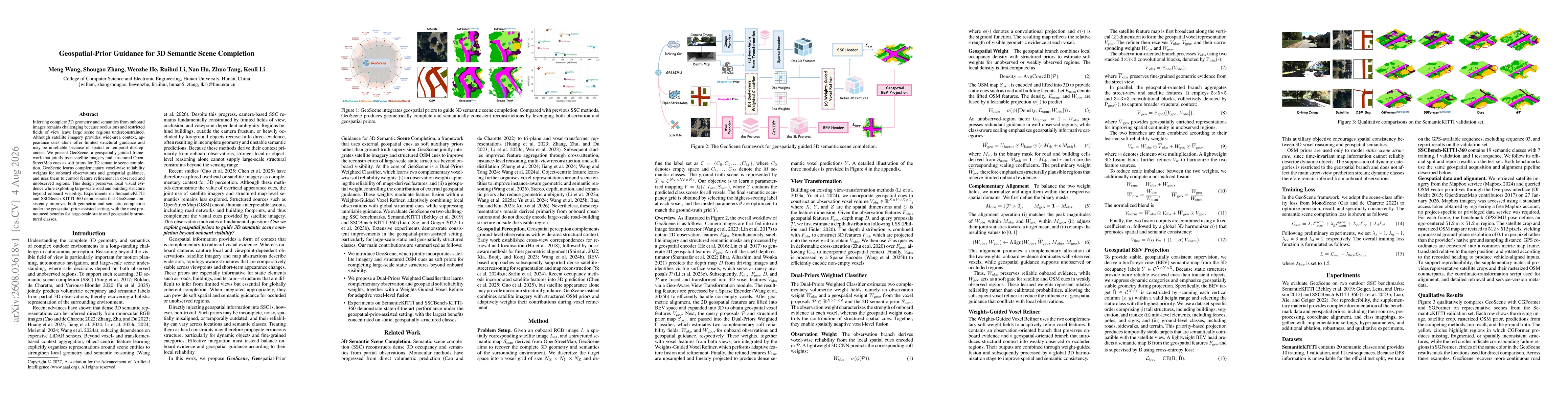
GeoScene introduces a Dual-Priors Weighted Classifier that jointly leverages onboard RGB observations and geospatial priors from satellite imagery and OpenStreetMap (OSM). It learns voxel-wise reliability weights for both sources and uses a Weights-Guided Voxel Refiner to adaptively fuse features in observed and unobserved regions, balancing local visual evidence with large-scale geospatial structure. The framework handles potential misalignment and incompleteness of priors by weighting their influence according to learned reliability.
Geospatial-Prior Guidance for 3D Semantic Scene Completion
Publication
Metrics
Quick Answers
What methodology did the authors use?
GeoScene introduces a Dual-Priors Weighted Classifier that jointly leverages onboard RGB observations and geospatial priors from satellite imagery and OpenStreetMap (OSM). It learns voxel-wise reliability weights for both sources and uses a Weights-Guided Voxel Refiner to adaptively fuse features in observed and unobserved regions, balancing local visual evidence with large-scale geospatial structure. The framework handles potential misalignment and incompleteness of... More in Methodology →
What are the key results?
GeoScene consistently improves geometric and semantic completion under geospatial-prior Assisted setting on SemanticKITTI and SSCBench-KITTI-360 benchmarks. — Significant improvements are observed for large-scale static and geospatially structured classes, with notable gains in car, truck, and building delineation beyond onboard visibility. More in Key Results →
Why is this work significant?
Demonstrates that geospatial priors from satellite imagery and structured maps can guide 3D semantic scene completion, enabling more coherent reconstructions in occluded or distant regions and advancing robust perception for autonomous systems in large-scale environments. More in Significance →
What are the main limitations?
Performance depends on external geospatial data coverage and quality; incomplete or outdated maps can degrade results. — The method mainly models static structures and may not explicitly handle dynamic map changes or temporary closures. More in Limitations →
Abstract
Inferring complete 3D geometry and semantics from onboard images remains challenging because occlusions and restricted fields of view leave large scene regions underconstrained. Although satellite imagery provides wide-area context, appearance cues alone offer limited structural guidance and may be unreliable because of spatial or temporal discrepancies. We present GeoScene, a geospatially guided framework that jointly uses satellite imagery and structured OpenStreetMap cues as soft priors for 3D semantic scene completion. GeoScene learns complementary voxel-wise reliability weights for onboard observations and geospatial guidance, and uses them to control feature refinement in observed and unobserved regions. This design preserves local visual evidence while exploiting large-scale road and building structure beyond onboard visibility. Experiments on SemanticKITTI and SSCBench-KITTI-360 demonstrate that GeoScene consistently improves both geometric and semantic completion under the geospatial-prior-assisted setting, with the most pronounced benefits for large-scale static and geospatially structured classes.
Key Findings, in focus
Seven facets of this paper, analysed and brought into focus by AI.
Demonstrates that geospatial priors from satellite imagery and structured maps can guide 3D semantic scene completion, enabling more coherent reconstructions in occluded or distant regions and advancing robust perception for autonomous systems in large-scale environments.
- GeoScene consistently improves geometric and semantic completion under geospatial-prior Assisted setting on SemanticKITTI and SSCBench-KITTI-360 benchmarks.
- Significant improvements are observed for large-scale static and geospatially structured classes, with notable gains in car, truck, and building delineation beyond onboard visibility.
- Ablation studies show the complementary value of satellite imagery and OS Map priors when fused with learned reliability weights and the voxel refiner.
Demonstrates that geospatial priors from satellite imagery and structured maps can guide 3D semantic scene completion, enabling more coherent reconstructions in occluded or distant regions and advancing robust perception for autonomous systems in large-scale environments.
A Dual-Priors Weighted Classifier coupled with a Weights-Guided Voxel Refiner that adaptively fuses observation-based features with geospatial priors from satellite imagery and OSM, conditioned on voxel-wise reliability learned during training.
First framework to jointly exploit satellite imagery and structured geospatial priors as soft, learnable reliability weights for 3D semantic scene completion, enabling geospatial-prior guided reconstruction beyond onboard field of view.
- Performance depends on external geospatial data coverage and quality; incomplete or outdated maps can degrade results.
- The method mainly models static structures and may not explicitly handle dynamic map changes or temporary closures.
- In regions with missing or corrupted priors, reliance on onboard evidence persists, potentially limiting global coherence.
- Incorporate timestamped geospatial snapshots to capture temporal consistency and map updates.
- Develop explicit map-change detection and fallback training with missing or corrupted priors.
- Explore scalable integration with additional geospatial sources and dynamic object modeling for enhanced robustness.
Discussion 0