Summary
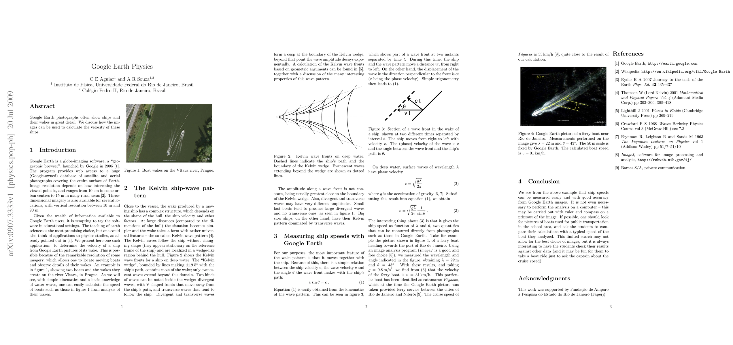
Google Earth photographs often show ships and their wakes in great detail. We discuss how the images can be used to calculate the velocity of these ships.
AI Key Findings
Get AI-generated insights about this paper's methodology, results, and significance.
Paper Details
PDF Preview
Key Terms
earth
(0.480)
great
(0.433)
calculate
(0.393)
images
(0.365)
velocity
(0.364)
discuss
(0.315)
used
(0.249)
Similar Papers
Found 4 papersPositional Accuracy Assessment of Historical Google Earth Imagery
Peter C. Nwilo., Chukwuma J. Okolie, Johanson C. Onyegbula et al.

Comments (0)