Summary

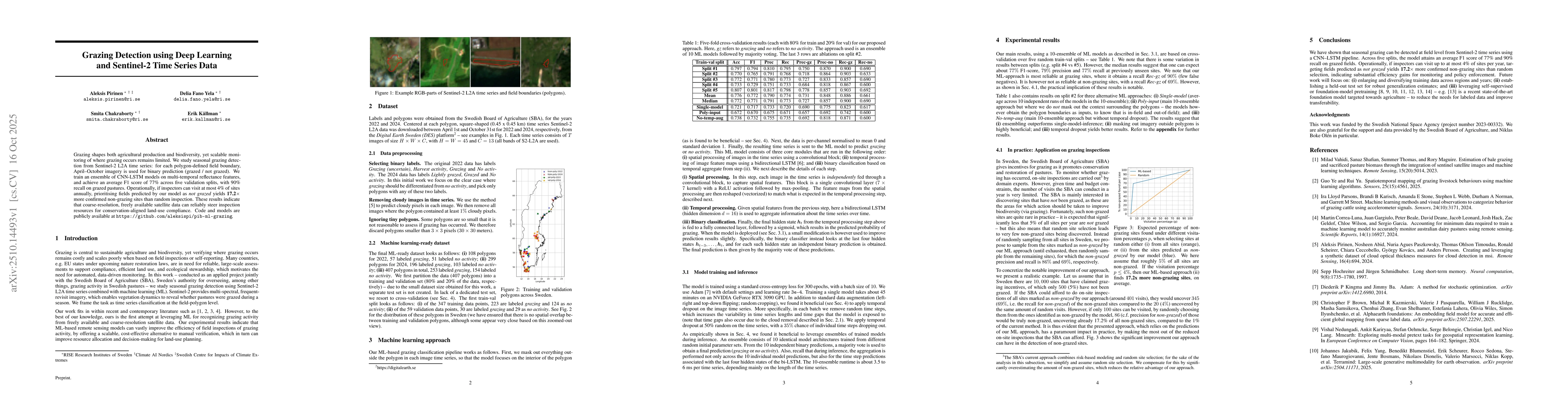
Grazing shapes both agricultural production and biodiversity, yet scalable monitoring of where grazing occurs remains limited. We study seasonal grazing detection from Sentinel-2 L2A time series: for each polygon-defined field boundary, April-October imagery is used for binary prediction (grazed / not grazed). We train an ensemble of CNN-LSTM models on multi-temporal reflectance features, and achieve an average F1 score of 77 percent across five validation splits, with 90 percent recall on grazed pastures. Operationally, if inspectors can visit at most 4 percent of sites annually, prioritising fields predicted by our model as non-grazed yields 17.2 times more confirmed non-grazing sites than random inspection. These results indicate that coarse-resolution, freely available satellite data can reliably steer inspection resources for conservation-aligned land-use compliance. Code and models have been made publicly available.

AI Key Findings

Generated Oct 20, 2025

Methodology

The study employs an ensemble of CNN-LSTM models trained on Sentinel-2 L2A time series data to detect grazing activities. The models process multi-temporal reflectance features from polygon-defined field boundaries, with data preprocessed to remove cloudy images and small polygons.

Key Results

  • The model achieves an average F1 score of 77% across five validation splits with 90% recall on grazed pastures.
  • Prioritizing fields predicted as non-grazed yields 17.2 times more confirmed non-grazing sites than random inspection.
  • The approach demonstrates high reliability for grazing sites but lower reliability for non-grazing sites.

Significance

This research provides a scalable solution for monitoring grazing activities using freely available satellite data, enabling efficient allocation of inspection resources for conservation and land-use compliance.

Technical Contribution

The integration of CNN-LSTM architecture with multi-temporal Sentinel-2 data for grazing detection represents a novel technical contribution.

Novelty

The combination of deep learning with time series satellite data for grazing detection, along with the use of temporal dropout and polygon masking, distinguishes this work from existing methods.

Limitations

  • The small dataset size limits the model's generalizability.
  • The approach relies on polygon-defined boundaries which may not capture all grazing scenarios.
  • Performance is less reliable for non-grazed sites compared to grazed ones.

Future Work

  • Expand and diversify training data across regions and years.
  • Establish a held-out test set for robust generalization estimates.
  • Leverage self-supervised or foundation model pretraining to reduce reliance on labeled data.

Paper Details

PDF Preview

Download PDF

Comments (0)

This website uses cookies to ensure you get the best experience. Learn more