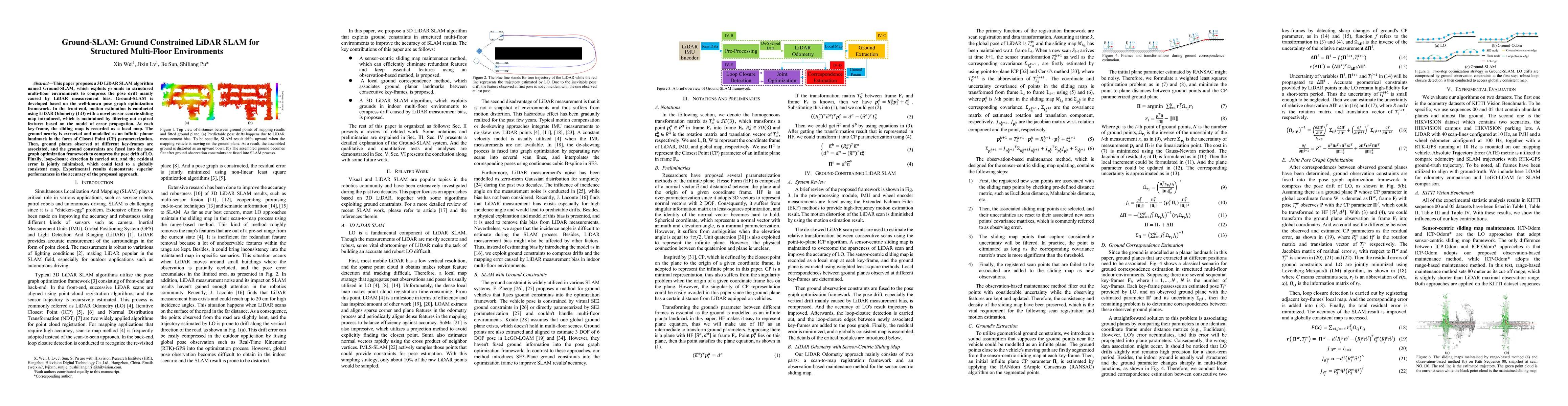
Ground-SLAM: Ground Constrained LiDAR SLAM for Structured Multi-Floor Environments

Source: ArXiv

AI Quick Summary

Ground-SLAM is a 3D LiDAR SLAM algorithm that leverages ground planes in multi-floor environments to reduce pose drift from LiDAR measurement bias. It integrates ground constraints into pose graph optimization to achieve a globally consistent map with high accuracy.

Share: Share on X LinkedIn

Summary

This paper proposes a 3D LiDAR SLAM algorithm named Ground-SLAM, which exploits grounds in structured multi-floor environments to compress the pose drift mainly caused by LiDAR measurement bias. Ground-SLAM is developed based on the well-known pose graph optimization framework. In the front-end, motion estimation is conducted using LiDAR Odometry (LO) with a novel sensor-centric sliding map introduced, which is maintained by filtering out expired features based on the model of error propagation. At each key-frame, the sliding map is recorded as a local map. The ground nearby is extracted and modelled as an infinite planar landmark in the form of Closest Point (CP) parameterization. Then, ground planes observed at different key-frames are associated, and the ground constraints are fused into the pose graph optimization framework to compress the pose drift of LO. Finally, loop-closure detection is carried out, and the residual error is jointly minimized, which could lead to a globally consistent map. Experimental results demonstrate superior performances in the accuracy of the proposed approach.

AI Key Findings

Generated Sep 03, 2025

Methodology

The paper proposes Ground-SLAM, a 3D LiDAR SLAM algorithm that uses ground constraints to compress pose drift, particularly vertical drift caused by LiDAR measurement bias. It builds on a pose graph optimization framework, incorporating motion estimation via LiDAR Odometry (LO) with a sensor-centric sliding map maintained by filtering out expired features. Ground planes are extracted and modeled as infinite planar landmarks using Closest Point (CP) parameterization, then associated across different key-frames and fused into the pose graph optimization.

Key Results

  • Ground-SLAM outperforms existing methods in terms of accuracy in structured multi-floor environments.
  • The sensor-centric sliding map with observation-based maintenance method improves the efficiency and consistency of LiDAR Odometry.
  • Ground observation constraints effectively compress pose drift, especially vertical drift, enhancing SLAM accuracy.

Significance

This research is significant as it addresses the challenge of pose drift in LiDAR SLAM, particularly in multi-floor environments where global pose observation is often absent. Ground-SLAM's ability to improve odometry and mapping accuracy has potential applications in autonomous navigation in complex indoor and some outdoor environments.

Technical Contribution

The main technical contribution is the development of Ground-SLAM, a LiDAR SLAM algorithm that utilizes ground constraints to correct pose drift, along with an efficient sensor-centric sliding map maintenance method.

Novelty

Ground-SLAM introduces a novel approach to LiDAR SLAM by specifically targeting and correcting vertical pose drift through ground constraints, enhancing accuracy in structured multi-floor environments.

Limitations

  • Ground-SLAM's performance might degrade in environments with non-flat ground surfaces.
  • The algorithm's adaptability to varying outdoor terrains without significant modifications is yet to be explored.

Future Work

  • Integration of semantic information to improve accuracy and robustness.
  • Exploration of Ground-SLAM's applicability in more diverse outdoor environments.

Paper Details

PDF Preview

Download PDF

Key Terms

lidar (0.282)
pose (0.281)
ground (0.224)
map (0.223)
drift (0.209)
optimization (0.144)
error (0.142)
graph (0.141)

Citation Network

Current paper (gray), citations (green), references (blue)

Display is limited for performance on very large graphs.

Current Paper
Citations
References
Click to view
Title Authors Year Actions

Comments (0)

This website uses cookies to ensure you get the best experience. Learn more