ArxivLens

Quick Summary:

This paper proposes a novel technique combining RWTLS and FIMLOE to enhance the positioning accuracy of mobile laser scanning systems in GPS-denied environments. Experimental results show significant improvements in accuracy compared to traditional methods.

DOI: 10.1109/JSEN.2019.2929142
arXiv Id: 1911.00041
Date Published: 2019-11-04
Date Updated: 2019-11-04

Categories:

Key Terms (TF-IDF):

errors (0.218)
observation (0.214)
alignment (0.202)
accuracy (0.198)
laser (0.185)
environments (0.184)
frame (0.177)
proposed method (0.175)
vector (0.154)
improve (0.148)
significantly improve (0.138)
corrected (0.138)
squares (0.134)
appropriately (0.134)
maximum likelihood (0.133)
secondly (0.130)
scanning (0.129)
demonstrate proposed (0.129)
experimental (0.128)
level (0.127)
License: http://arxiv.org/licenses/nonexclusive-distrib/1.0/

Summary:

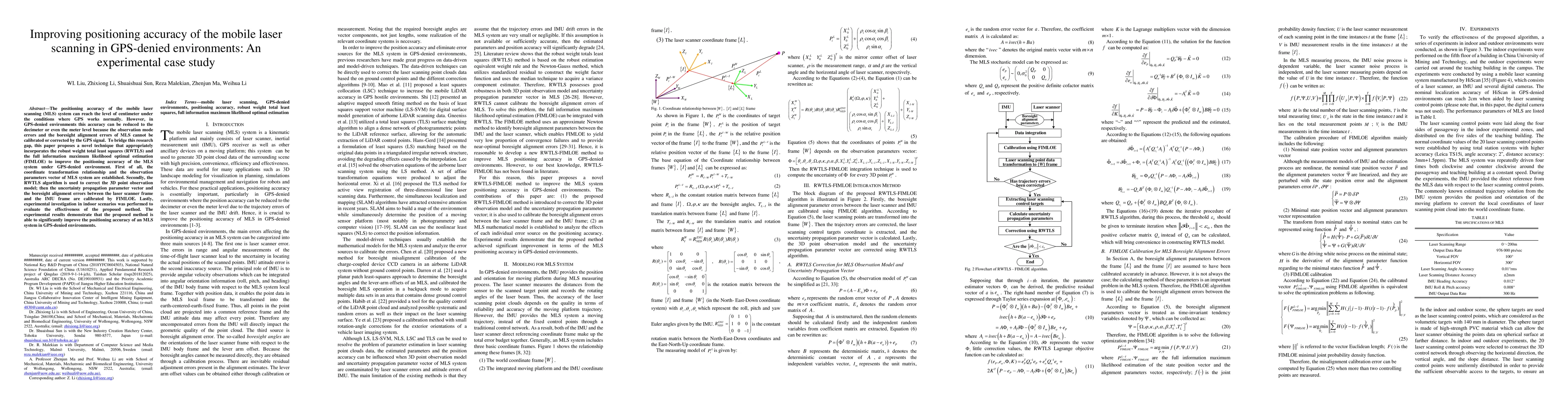
The positioning accuracy of the mobile laser scanning (MLS) system can reach the level of centimeter under the conditions where GPS works normally. However, in GPS-denied environments this accuracy can be reduced to the decimeter or even the meter level because the observation mode errors and the boresight alignment errors of MLS cannot be calibrated or corrected by the GPS signal. To bridge this research gap, this paper proposes a novel technique that appropriately incorporates the robust weight total least squares (RWTLS) and the full information maximum likelihood optimal estimation (FIMLOE) to improve the positioning accuracy of the MLS system under GPS-denied environment. First of all, the coordinate transformation relationship and the observation parameters vector of MLS system are established. Secondly, the RWTLS algorithm is used to correct the 3D point observation model; then the uncertainty propagation parameter vector and the boresight alignment errors between the laser scanner frame and the IMU frame are calibrated by FIMLOE. Lastly, experimental investigation in indoor scenarios was performed to evaluate the effectiveness of the proposed method. The experimental results demonstrate that the proposed method is able to significantly improve the positioning accuracy of an MLS system in GPS-denied environments.

Citation & Reference Network Visualization

This graph shows how this paper is connected to other research. The current paper is shown in dark gray, papers that cite it are in green, and papers it references are in blue. You can:

Current Paper
Papers citing this work (Citations)
Papers cited by this work (References)

• Hover over any node to see the paper title

• Click a node to view that paper's details

• Drag nodes to rearrange the graph

• Use the zoom controls (bottom right) to zoom in/out

Citations and References

Title Authors Year Actions
MuCoGraph: A multi-scale constraint enhanced pose-graph framework for MLS point cloud inconsistency correction
Yuhao Li, Xianghong Zou, Tian Li, Sihan Sun, Yuan Wang, Fuxun Liang, Jiangping Li, Bisheng Yang, Zhen Dong
2023
View Paper
Accuracy and inter-cloud precision of low-cost mobile LiDAR technology in estimating soil disturbance in forest operations
Gabriel Osei Forkuo, S. A. Borz
2023
View Paper
Investigation and Implementation of New Technology Wearable Mobile Laser Scanning (WMLS) in Transition to an Intelligent Geospatial Cadastral Information System
Abdurahman Yasin Yiğit, Seda Nur Gamze Hamal, M. Yakar, A. Ulvi
2023
View Paper
Optimization of Localization Error in Multi-Agent Systems through Cooperative Positioning: Autonomous Navigation in Partially Denied GNSS Environments
S. Shahkar, K. Khorasani
2023
View Paper
Drift analysis and sectional post-processing of indoor simultaneous localization and mapping (SLAM)-based laser scanning data
Aino Keitaanniemi, P. Rönnholm, A. Kukko, M. Vaaja
2023
View Paper
Road surface and inventory extraction from mobile LiDAR point cloud using iterative piecewise linear model
M. Zeybek, Serkan Biçici
2023
View Paper
Resilient Ground Vehicle Autonomous Navigation in GPS-denied Environments
Kleio Baxevani, Indrajeet Yadav, Yulin Yang, M. Sebok, H. Tanner, G. Huang
2022
View Paper
Crowd Sensing Urban Healthy Street Monitoring Based on Mobile Positioning System
Fang-Qing Jiang, Yunjuan Sun, Jianfeng Sha
2021
View Paper
Relative Localization of Mobile Robots with Multiple Ultra-WideBand Ranging Measurements
Zhiqiang Cao, Ran Liu, C. Yuen, A. Athukorala, Benny Kai Kiat Ng, M. Mathanraj, U-Xuan Tan
2021
View Paper
Georeferencing kinematic modeling and error correction of terrestrial laser scanner for 3D scene reconstruction
Wanli Liu, Zhixiong Li, Shuaishuai Sun, H. Du, M. Sotelo
2021
View Paper
Meta-Reinforcement Learning for Reliable Communication in THz/VLC Wireless VR Networks
Yining Wang, Mingzhe Chen, Zhaohui Yang, W. Saad, T. Luo, Shuguang Cui, H. Poor
2021
View Paper
Mobile 3D scan LiDAR: a literature review
F. Di Stefano, S. Chiappini, A. Gorreja, M. Balestra, R. Pierdicca
2021
View Paper
Low-Cost Indoor Human Tracking by Utilizing Fluctuation of Received Radio Signal Strength
Huang-Chen Lee, Tzu-Ting Lin
2020
View Paper
Landslide data mosaicking based on an airborne laser point cloud and multi-beam sonar images
Haowei Ji, Xian-qi Luo, Yonglu Zhou
2020
View Paper
Improved Pedestrian Positioning with Inertial Sensor Based on Adaptive Gradient Descent and Double-Constrained Extended Kalman Filter
Miaoxin Ji, Jinhao Liu, Xiangbo Xu, Yuyang Guo, Zhenchun Lu
2020
View Paper

Comments (0)

This website uses cookies to ensure you get the best experience. Learn more