A real-time indoor localization algorithm is designed and implemented using measurements from IMUs and WiFi RSSI with map information.
Publication
Metrics
AI Quick Summary
This paper proposes an area state-aided localization algorithm for smartphones that enhances indoor positioning accuracy by combining inertial measurement unit (IMU) data with WiFi RSSI signals and area states derived from indoor maps. Experimental results demonstrate the system's effectiveness in achieving precise localization in typical indoor settings.
Quick Answers
What methodology did the authors use?
A real-time indoor localization algorithm is designed and implemented using measurements from IMUs and WiFi RSSI with map information. More in Methodology →
What are the key results?
The proposed algorithm effectively exploits map information to achieve desirable localization accuracy. — It uses WiFi RSSI to indicate the proximity of the user to a router. More in Key Results →
Why is this work significant?
This research contributes to the design of advanced indoor localization systems and has potential applications in various fields such as navigation, tracking, and surveillance. More in Significance →
What are the main limitations?
Some step miscalculations or length estimations may occur due to the complexity of real-world environments. — The performance of the algorithm can be affected by the selection of threshold values for WiFi indicators. More in Limitations →
Abstract
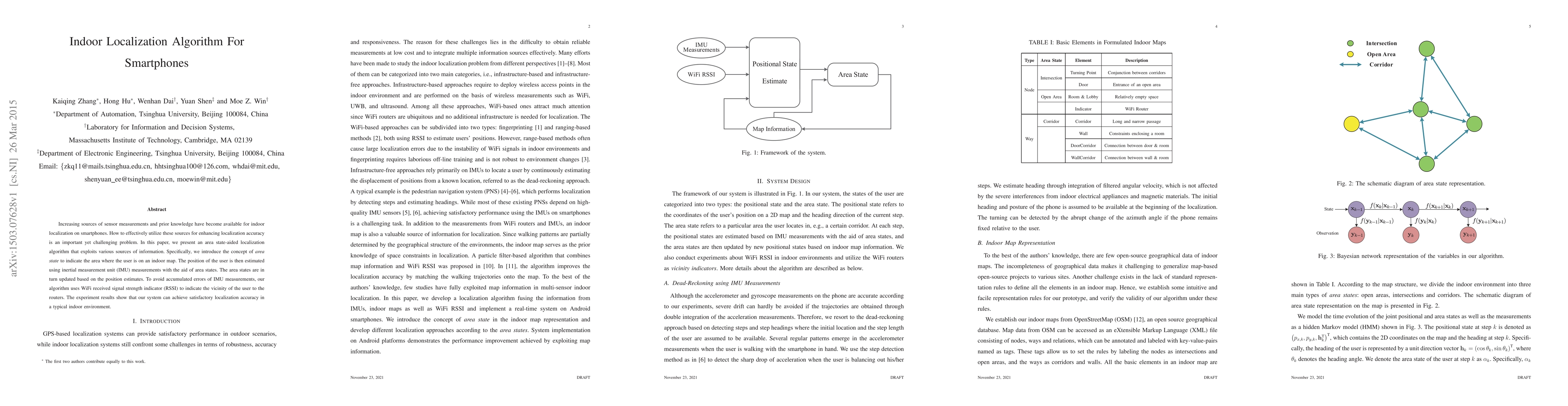
Increasing sources of sensor measurements and prior knowledge have become available for indoor localization on smartphones. How to effectively utilize these sources for enhancing localization accuracy is an important yet challenging problem. In this paper, we present an area state-aided localization algorithm that exploits various sources of information. Specifically, we introduce the concept of area state to indicate the area where the user is on an indoor map. The position of the user is then estimated using inertial measurement unit (IMU) measurements with the aid of area states. The area states are in turn updated based on the position estimates. To avoid accumulated errors of IMU measurements, our algorithm uses WiFi received signal strength indicator (RSSI) to indicate the vicinity of the user to the routers. The experiment results show that our system can achieve satisfactory localization accuracy in a typical indoor environment.
Key Findings, in focus
Seven facets of this paper, analysed and brought into focus by AI.
This research contributes to the design of advanced indoor localization systems and has potential applications in various fields such as navigation, tracking, and surveillance.
- The proposed algorithm effectively exploits map information to achieve desirable localization accuracy.
- It uses WiFi RSSI to indicate the proximity of the user to a router.
- The system presents robust performance in corridors, primarily due to map constraints.
- Constant corrections of headings with the assistance of corridors can well compensate for small attitude variations of the phone.
- In open areas, trajectories are constrained by walls and obstructions and refined by WiFi indicators.
This research contributes to the design of advanced indoor localization systems and has potential applications in various fields such as navigation, tracking, and surveillance.
The proposed algorithm leverages measurements from IMUs and WiFi RSSI with map information to achieve accurate indoor localization.
This work combines the strengths of both inertial measurement units and wireless local area network-based localization methods, providing a robust and efficient solution for indoor navigation.
- Some step miscalculations or length estimations may occur due to the complexity of real-world environments.
- The performance of the algorithm can be affected by the selection of threshold values for WiFi indicators.
- Exploring more advanced machine learning techniques to improve localization accuracy in complex indoor environments.
- Investigating the integration of additional sensor data, such as lidar or stereo vision, to enhance system robustness.
- Developing a user-friendly interface and evaluating its impact on adoption rates.
Impact
Paper Details
PDF Preview
Key Terms
Citation Network
Current paper (gray), citations (green), references (blue)
Display is limited for performance on very large graphs.
Discussion 0