Summary
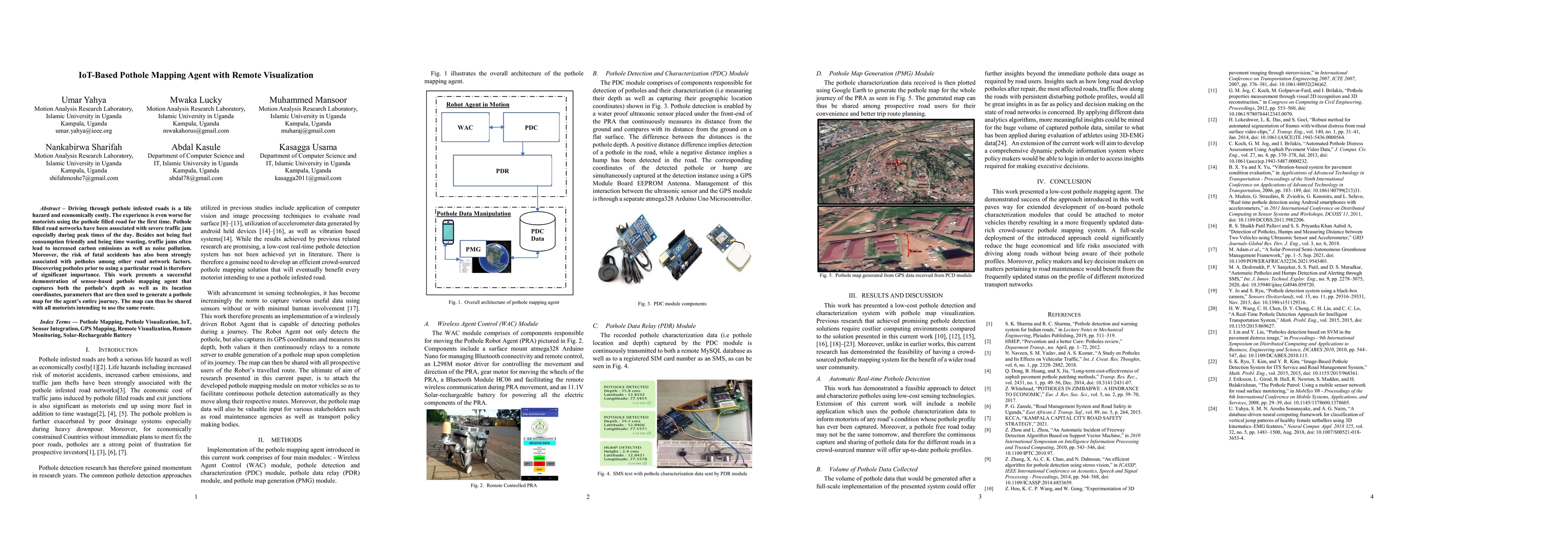
Driving through pothole infested roads is a life hazard and economically costly. The experience is even worse for motorists using the pothole filled road for the first time. Pothole-filled road networks have been associated with severe traffic jam especially during peak times of the day. Besides not being fuel consumption friendly and being time wasting, traffic jams often lead to increased carbon emissions as well as noise pollution. Moreover, the risk of fatal accidents has also been strongly associated with potholes among other road network factors. Discovering potholes prior to using a particular road is therefore of significant importance. This work presents a successful demonstration of sensor-based pothole mapping agent that captures both the pothole's depth as well as its location coordinates, parameters that are then used to generate a pothole map for the agent's entire journey. The map can thus be shared with all motorists intending to use the same route.
AI Key Findings
Get AI-generated insights about this paper's methodology, results, and significance.
Paper Details
PDF Preview
Key Terms
Citation Network
Current paper (gray), citations (green), references (blue)
Display is limited for performance on very large graphs.
Similar Papers
Found 4 papersEngineering End-to-End Remote Labs using IoT-based Retrofitting
Aftab Hussain, Harikumar Kandath, Sachin Chaudhari et al.
No citations found for this paper.

Comments (0)