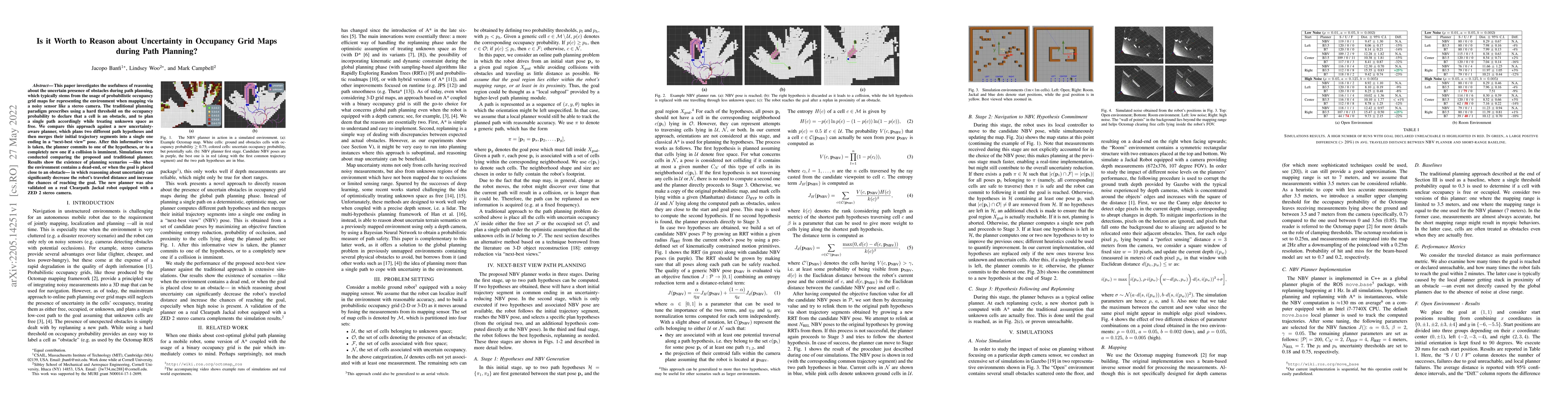
Is it Worth to Reason about Uncertainty in Occupancy Grid Maps during Path Planning?
Publication
Metrics
AI Quick Summary
This paper evaluates the benefits of incorporating uncertainty from occupancy grid maps in path planning, finding that an uncertainty-aware planner can significantly reduce travel distance and improve goal reachability compared to traditional methods, especially in complex environments. The new approach plans multiple hypotheses and merges them, validated through simulations and real-world robot trials.
Paper Preview
Abstract
This paper investigates the usefulness of reasoning about the uncertain presence of obstacles during path planning, which typically stems from the usage of probabilistic occupancy grid maps for representing the environment when mapping via a noisy sensor like a stereo camera. The traditional planning paradigm prescribes using a hard threshold on the occupancy probability to declare that a cell is an obstacle, and to plan a single path accordingly while treating unknown space as free. We compare this approach against a new uncertainty-aware planner, which plans two different path hypotheses and then merges their initial trajectory segments into a single one ending in a "next-best view" pose. After this informative view is taken, the planner commits to one of the hypotheses, or to a completely new one if a collision is imminent. Simulations were conducted comparing the proposed and traditional planner. Results show the existence of planning scenarios -- like when the environment contains a dead-end, or when the goal is placed close to an obstacle -- in which reasoning about uncertainty can significantly decrease the robot's traveled distance and increase the chances of reaching the goal. The new planner was also validated on a real Clearpath Jackal robot equipped with a ZED 2 stereo camera.
AI Key Findings
Get AI-generated insights about this paper's methodology, results, significance, and more — seven facets brought into focus.
Impact
Paper Details
Authors
PDF Preview
Key Terms
Citation Network
Current paper (gray), citations (green), references (blue)
Display is limited for performance on very large graphs.
Discussion 0