01
MethodologyHow they did it
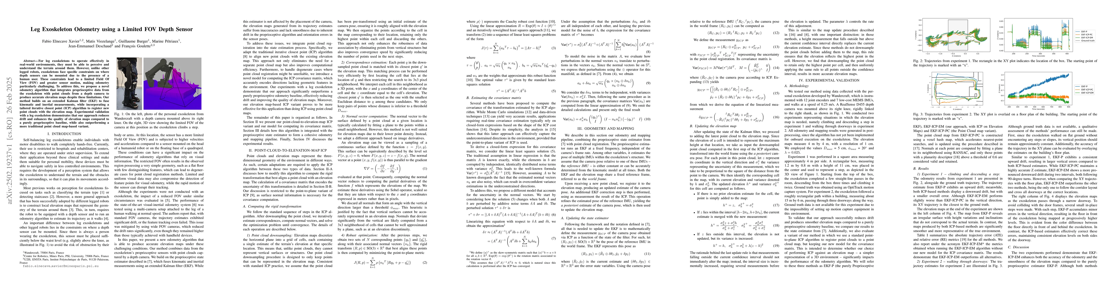
The research methodology involved testing the proposed odometry method using data collected with a person exoskeleton instrumented with joint encoders and IMUs. A RealSense D455 depth camera was mounted above the right knee, rigidly linked to the right shank. Two experiments were conducted: climbing and descending a step (Experiment 1) and walking through doorways (Experiment 2). Ground truth was obtained using an OptiTrack motion capture system for Experiment 1, while Experiment 2 lacked ground truth due to the impossibility of setting up motion capture equipment.
Discussion 0