AI Quick Summary
This paper proposes a LIDAR-based stabilization, navigation, and localization system for lightweight UAVs operating in dark indoor environments without external localization systems. The method leverages LIDAR scans for precise pose estimation, offering robustness to poor illumination and seamless transitions between different environments.
Quick Answers
What methodology did the authors use?
A lightweight 2D laser range finder is used to align sequential scans, which are then fused with a global pose estimate from velocity estimation. More in Methodology →
What are the key results?
The proposed system achieves a mean absolute error of 1.5 cm in lidar-based SLAM systems — The system demonstrates robustness against partial occlusions and fast motion More in Key Results →
Why is this work significant?
This work presents a novel approach to indoor SLAM using a lightweight 2D laser range finder, enabling efficient and robust navigation More in Significance →
What are the main limitations?
The system may not perform well in highly dynamic or cluttered environments — The velocity estimation component may be sensitive to sensor noise More in Limitations →
Abstract
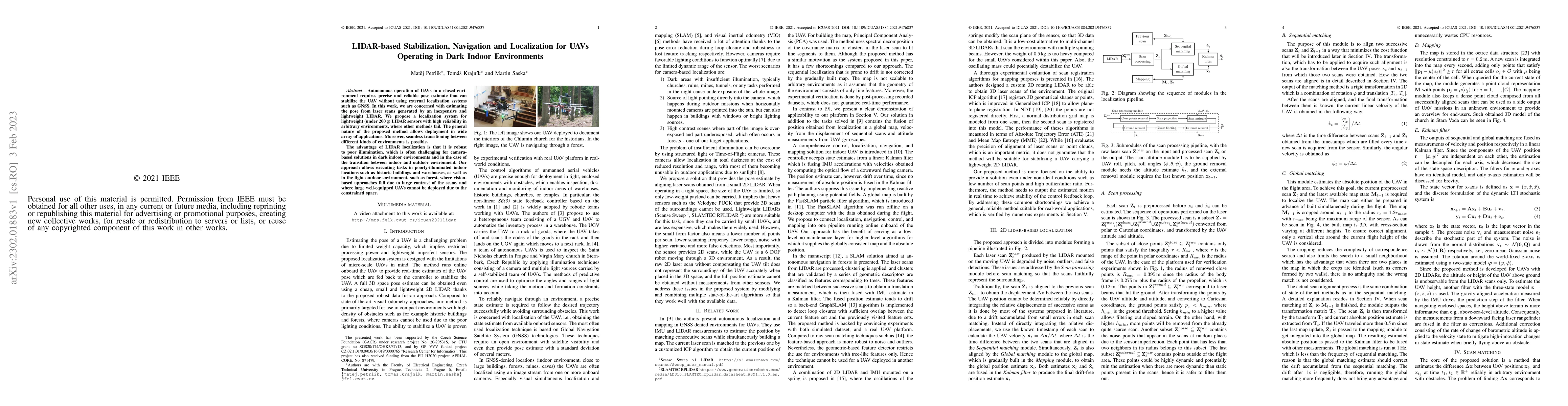
Autonomous operation of UAVs in a closed environment requires precise and reliable pose estimate that can stabilize the UAV without using external localization systems such as GNSS. In this work, we are concerned with estimating the pose from laser scans generated by an inexpensive and lightweight LIDAR. We propose a localization system for lightweight (under 200g) LIDAR sensors with high reliability in arbitrary environments, where other methods fail. The general nature of the proposed method allows deployment in wide array of applications. Moreover, seamless transitioning between different kinds of environments is possible. The advantage of LIDAR localization is that it is robust to poor illumination, which is often challenging for camera-based solutions in dark indoor environments and in the case of the transition between indoor and outdoor environment. Our approach allows executing tasks in poorly-illuminated indoor locations such as historic buildings and warehouses, as well as in the tight outdoor environment, such as forest, where vision-based approaches fail due to large contrast of the scene, and where large well-equipped UAVs cannot be deployed due to the constrained space.
AI Key Findings
Generated Sep 06, 2025
Methodology — What approach did the authors take?
A lightweight 2D laser range finder is used to align sequential scans, which are then fused with a global pose estimate from velocity estimation.
Key Results — What are the main findings?
- The proposed system achieves a mean absolute error of 1.5 cm in lidar-based SLAM systems
- The system demonstrates robustness against partial occlusions and fast motion
- The lightweight sensor design enables autonomous operation in indoor environments
Significance — Why does this research matter?
This work presents a novel approach to indoor SLAM using a lightweight 2D laser range finder, enabling efficient and robust navigation
Technical Contribution — What is the technical contribution?
The proposed system integrates sequential scan alignment with global pose estimation, enabling efficient and robust indoor SLAM
Novelty — What is new about this work?
This work presents a novel approach to indoor SLAM using a lightweight 2D laser range finder, which is more efficient and robust than existing solutions
Limitations — What are the limitations of this study?
- The system may not perform well in highly dynamic or cluttered environments
- The velocity estimation component may be sensitive to sensor noise
Future Work — What did the authors propose for future work?
- Investigating the use of machine learning algorithms for improved SLAM performance
- Developing a more robust and efficient velocity estimation method
- Exploring applications in outdoor environments with varying lighting conditions
Paper Details
How to Cite This Paper
@article{ik2023lidar,
title = {LIDAR-based Stabilization, Navigation and Localization for UAVs
Operating in Dark Indoor Environments},
author = {ik, Matěj Petrl\' and ik, Tom\' aš Krajn\' and Saska, Martin},
year = {2023},
eprint = {2302.01883},
archivePrefix = {arXiv},
primaryClass = {cs.RO},
doi = {10.1109/ICUAS51884.2021.9476837},
}
ik, M., ik, T., & Saska, M. (2023). LIDAR-based Stabilization, Navigation and Localization for UAVs
Operating in Dark Indoor Environments. arXiv. https://doi.org/10.1109/ICUAS51884.2021.9476837
ik, Matěj Petrl\', et al. "LIDAR-based Stabilization, Navigation and Localization for UAVs
Operating in Dark Indoor Environments." arXiv, 2023, doi.org/10.1109/ICUAS51884.2021.9476837.
PDF Preview
Citation Network
Current paper (gray), citations (green), references (blue)
Display is limited for performance on very large graphs.
Similar Papers
Found 4 papersVision-Based Localization and LLM-based Navigation for Indoor Environments
Keyan Rahimi, Md. Wasiul Haque, Sagar Dasgupta et al.
Joint Indoor Localization and Navigation of UAVs for Network Formation Control
Petar M. Djuric, Anna Guerra, Davide Dardari
EKF-Based Fusion of Wi-Fi/LiDAR/IMU for Indoor Localization and Navigation
Zeyi Li, Zhe Tang, Kyeong Soo Kim et al.
Occupancy Grid Map to Pose Graph-based Map: Robust BIM-based 2D-LiDAR Localization for Lifelong Indoor Navigation in Changing and Dynamic Environments
Miguel Arturo Vega Torres, Alexander Braun, André Borrmann
| Title | Authors | Year | Actions |
|---|
Comments (0)