01
MethodologyHow they did it
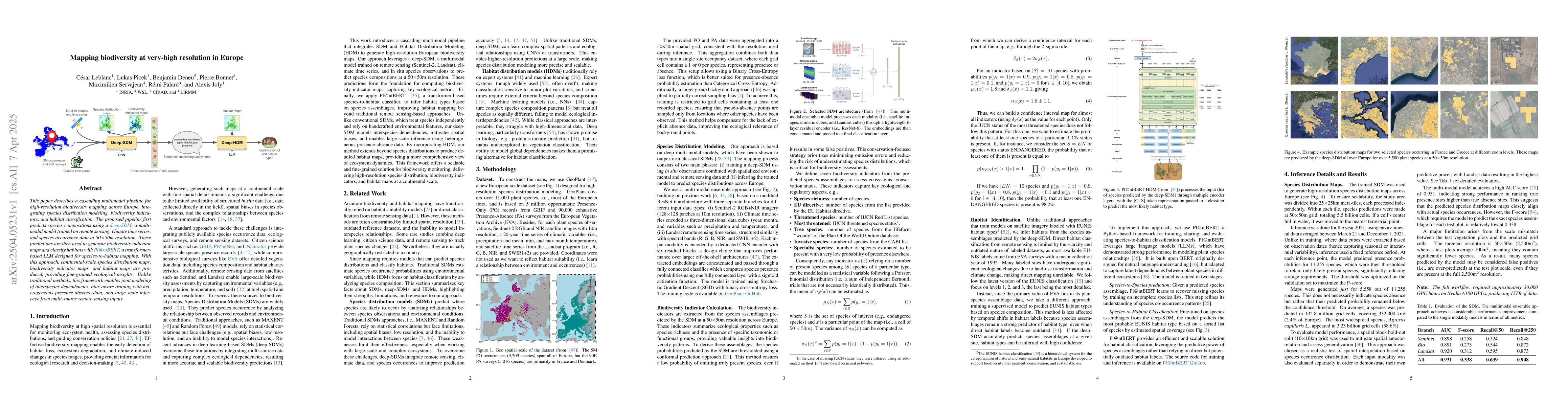
The paper presents a cascading multimodal pipeline for high-resolution biodiversity mapping in Europe, combining species distribution modeling, biodiversity indicators, and habitat classification. It uses a deep-SDM for species composition prediction from remote sensing, climate time series, and species occurrence data at 50x50m resolution. Subsequently, Pl@ntBERT, a transformer-based language model, is employed for species-to-habitat mapping to generate biodiversity indicator and habitat maps.
Discussion 0