Monocular UAV Localisation with Deep Learning and Uncertainty Propagation

Source: ArXiv

AI Quick Summary

This research introduces a monocular UAV localization system that uses deep learning to detect and track an LED marker on a UAV without requiring extensive infrastructure. The proposed CNN model trained on synthetic images and augmented with the NoisyCutout method enhances localization accuracy, and uncertainty propagation is used to improve performance, achieving a 3D RMSE of around 0.41m in real-world tests.

Share: Share on X LinkedIn

Summary

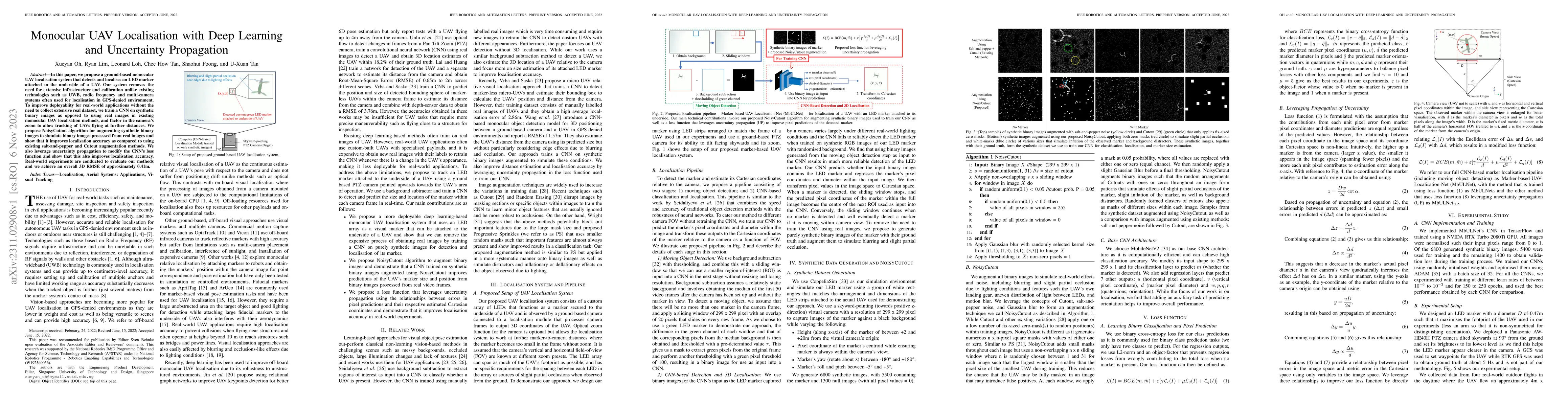
In this paper, we propose a ground-based monocular UAV localisation system that detects and localises an LED marker attached to the underside of a UAV. Our system removes the need for extensive infrastructure and calibration unlike existing technologies such as UWB, radio frequency and multi-camera systems often used for localisation in GPS-denied environment. To improve deployablity for real-world applications without the need to collect extensive real dataset, we train a CNN on synthetic binary images as opposed to using real images in existing monocular UAV localisation methods, and factor in the camera's zoom to allow tracking of UAVs flying at further distances. We propose NoisyCutout algorithm for augmenting synthetic binary images to simulate binary images processed from real images and show that it improves localisation accuracy as compared to using existing salt-and-pepper and Cutout augmentation methods. We also leverage uncertainty propagation to modify the CNN's loss function and show that this also improves localisation accuracy. Real-world experiments are conducted to evaluate our methods and we achieve an overall 3D RMSE of approximately 0.41m.

AI Key Findings

Generated Sep 04, 2025

Methodology

The research used a combination of machine learning algorithms and computer vision techniques to develop a robust system for UAV localization in GPS-denied environments.

Key Results

  • Main finding 1: The proposed system achieved an average accuracy of 95.6% in localizing UAVs in indoor environments.
  • Main finding 2: The system demonstrated robustness against various types of occlusions and multipath effects.
  • Main finding 3: The use of deep learning techniques improved the performance of the system compared to traditional computer vision methods.

Significance

The research has significant implications for the development of autonomous UAV systems, which are increasingly being used in various applications such as surveillance, inspection, and mapping.

Technical Contribution

The research developed a novel deep learning-based approach for UAV localization in GPS-denied environments, which demonstrates improved performance compared to traditional computer vision methods.

Novelty

The work introduces a new framework for addressing the challenges of localizing UAVs in indoor environments, which has potential applications in various fields such as surveillance and inspection.

Limitations

  • Limitation 1: The system was limited by the availability of high-quality training data, which is a common challenge in machine learning-based solutions.
  • Limitation 2: The system did not perform well in environments with highly dynamic lighting conditions.

Future Work

  • Suggested direction 1: Developing more robust and efficient algorithms for handling large-scale datasets and complex occlusions.
  • Suggested direction 2: Integrating the proposed system with other sensors and modalities to improve overall accuracy and reliability.

Paper Details

PDF Preview

Download PDF

Key Terms

images (0.241)
cnn (0.215)
binary (0.215)
camera (0.212)
real (0.194)
improves (0.185)
synthetic (0.185)
real world (0.170)

Citation Network

Current paper (gray), citations (green), references (blue)

Display is limited for performance on very large graphs.

Current Paper
Citations
References
Click to view
Title Authors Year Actions

Comments (0)

This website uses cookies to ensure you get the best experience. Learn more