Authors
Summary
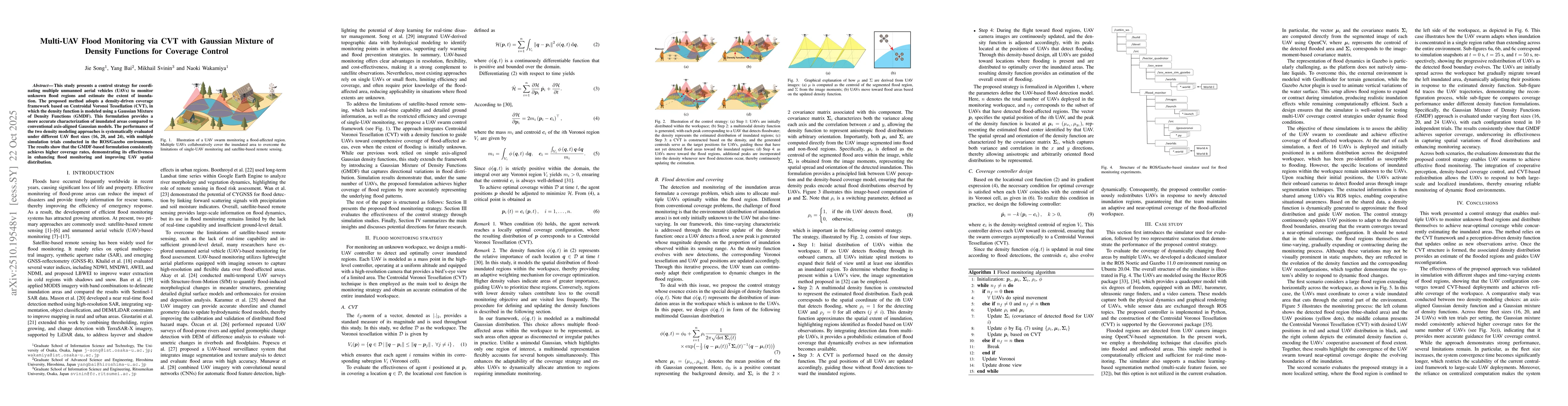
This study presents a control strategy for coordinating multiple unmanned aerial vehicles (UAVs) to monitor unknown flood regions and estimate the extent of inundation. The proposed method adopts a density-driven coverage framework based on Centroidal Voronoi Tessellation (CVT), in which the density function is modeled using a Gaussian Mixture of Density Functions (GMDF). This formulation provides a more accurate characterization of inundated areas compared to conventional axis-aligned Gaussian models. The performance of the two density modeling approaches is systematically evaluated under different UAV fleet sizes (16, 20, and 24), with multiple simulation trials conducted in the ROS/Gazebo environment. The results show that the GMDF-based formulation consistently achieves higher coverage rates, demonstrating its effectiveness in enhancing flood monitoring and improving UAV spatial distribution.
AI Key Findings
Generated Oct 24, 2025
Methodology
The research employs a density-driven coverage framework based on Centroidal Voronoi Tessellation (CVT), where the density function is modeled using a Gaussian Mixture of Density Functions (GMDF). UAVs dynamically update their positions based on real-time flood detection data, with the density function evolving as new flood information is incorporated.
Key Results
- The GMDF-based formulation consistently achieves higher coverage rates compared to conventional axis-aligned Gaussian methods across different UAV numbers.
- The system enables adaptive UAV repositioning in response to changing flood conditions through iterative density function updates.
- The proposed framework demonstrates effective flood area estimation and coverage optimization in both simulated and real-world scenarios.
Significance
This research advances multi-UAV flood monitoring by providing a scalable, adaptive framework that improves coverage accuracy and responsiveness to dynamic environmental changes, with potential applications in disaster response and real-time hazard assessment.
Technical Contribution
A novel integration of Gaussian Mixture Density Functions with CVT for real-time adaptive UAV coverage control in dynamic flood monitoring scenarios.
Novelty
The work introduces a dynamic density function update mechanism that allows UAVs to adaptively reposition based on real-time flood data, distinguishing it from static coverage control methods in existing literature.
Limitations
- The system is sensitive to individual UAV failures or communication disruptions.
- Convergences delays may occur with large numbers of UAVs, affecting real-time performance.
Future Work
- Develop decentralized flood-monitoring schemes to reduce convergence delays and improve resilience against vehicle dropouts.
- Implement distributed density estimation and fault-tolerant reallocation mechanisms for scalable multi-UAV operations.
Paper Details
PDF Preview
Similar Papers
Found 4 papersDistributed Coverage Hole Prevention for Visual Environmental Monitoring with Quadcopters via Nonsmooth Control Barrier Functions
Masayuki Fujita, María Santos, Riku Funada et al.
Safe Adaptive Multi-Agent Coverage Control
Yang Bai, Xiaogang Xiong, Yujie Wang et al.
GMM-Based Time-Varying Coverage Control
Chris Manzie, Peter Dower, Airlie Chapman et al.
Multi-UAV Planning for Cooperative Wildfire Coverage and Tracking with Quality-of-Service Guarantees
Esmaeil Seraj, Matthew Gombolay, Andrew Silva
Comments (0)