Multiple Drones driven Hexagonally Partitioned Area Exploration: Simulation and Evaluation
Publication
Metrics
AI Quick Summary
This paper simulates a cooperative path planning technique for 200 drones to explore a dynamically created, unknown hexagonally partitioned area with 10,000 connected units. The use of short-range communication avoids redundant exploration, while long-range communication directs drones based on weighted RNN, enhancing exploration efficiency and resilience.
Paper Preview
Abstract
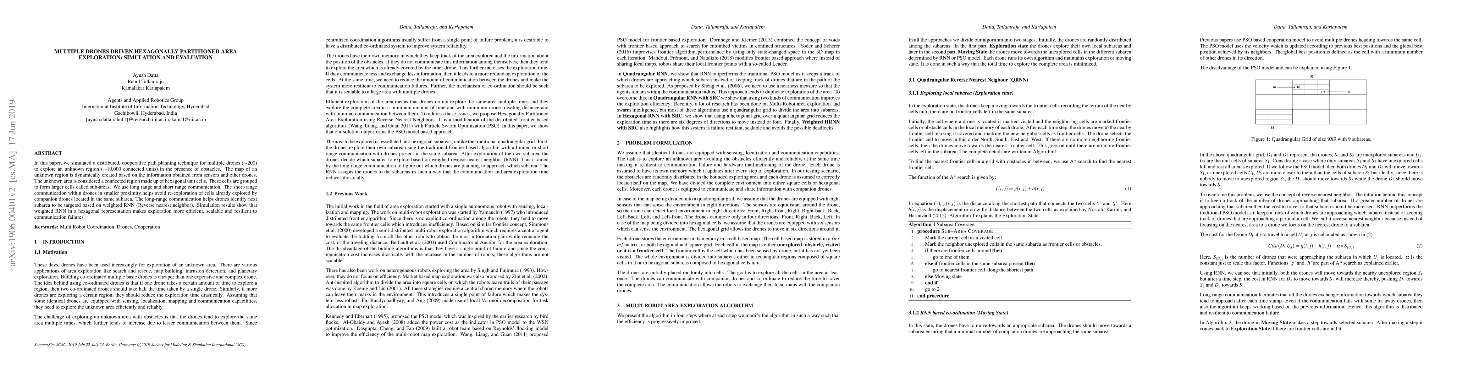
In this paper, we simulated a distributed, cooperative path planning technique for multiple drones (~200) to explore an unknown region (~10,000 connected units) in the presence of obstacles. The map of an unknown region is dynamically created based on the information obtained from sensors and other drones. The unknown area is considered a connected region made up of hexagonal unit cells. These cells are grouped to form larger cells called sub-areas. We use long range and short range communication. The short-range communication within drones in smaller proximity helps avoid re-exploration of cells already explored by companion drones located in the same subarea. The long-range communication helps drones identify next subarea to be targeted based on weighted RNN (Reverse nearest neighbor). Simulation results show that weighted RNN in a hexagonal representation makes exploration more efficient, scalable and resilient to communication failures.
AI Key Findings
Get AI-generated insights about this paper's methodology, results, significance, and more — seven facets brought into focus.
Impact
Paper Details
PDF Preview
Key Terms
Citation Network
Current paper (gray), citations (green), references (blue)
Display is limited for performance on very large graphs.
Discussion 0