Multiple Hypothesis Testing Framework for Spatial Signals

Source: ArXiv

AI Quick Summary

A new method for detecting regions of interest in distributed multisensor systems uses multiple hypothesis testing to identify areas with different or adversarial behavior. It estimates local false discovery rates using a data-driven approach, allowing for flexible application to various spatial propagation models.

Share: Share on X LinkedIn

Summary

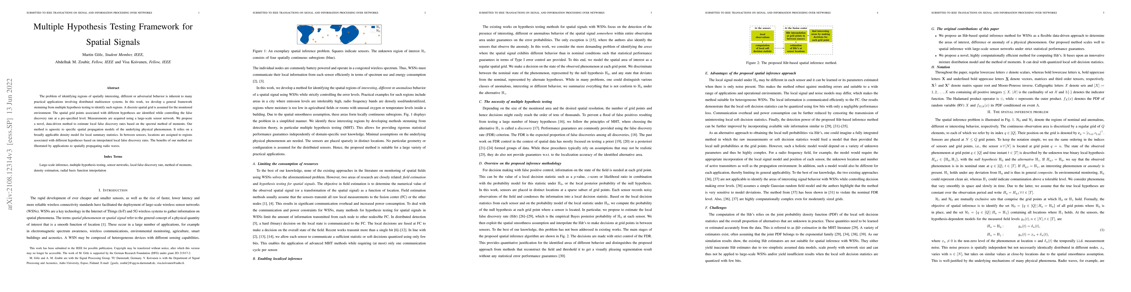
The problem of identifying regions of spatially interesting, different or adversarial behavior is inherent to many practical applications involving distributed multisensor systems. In this work, we develop a general framework stemming from multiple hypothesis testing to identify such regions. A discrete spatial grid is assumed for the monitored environment. The spatial grid points associated with different hypotheses are identified while controlling the false discovery rate at a pre-specified level. Measurements are acquired using a large-scale sensor network. We propose a novel, data-driven method to estimate local false discovery rates based on the spectral method of moments. Our method is agnostic to specific spatial propagation models of the underlying physical phenomenon. It relies on a broadly applicable density model for local summary statistics. In between sensors, locations are assigned to regions associated with different hypotheses based on interpolated local false discovery rates. The benefits of our method are illustrated by applications to spatially propagating radio waves.

AI Key Findings

Generated Sep 03, 2025

Methodology

The paper proposes a multiple hypothesis testing framework for spatial signals using a discrete spatial grid and large-scale sensor networks, estimating local false discovery rates via a data-driven method based on the spectral method of moments, which is agnostic to specific spatial propagation models.

Key Results

  • A novel, data-driven method for estimating local false discovery rates using the spectral method of moments.
  • The method controls the false discovery rate at a pre-specified level for regions of spatially interesting, different, or adversarial behavior.
  • Illustrated benefits through applications to spatially propagating radio waves.
  • The approach is flexible and can accommodate various sensor network configurations and sizes.

Significance

This research is significant as it provides a general framework for identifying regions of interest in distributed multisensor systems, which is crucial for practical applications involving such systems, while minimizing communication and computational costs.

Technical Contribution

The paper introduces a novel spectral method of moments for estimating local false discovery rates, which is agnostic to specific spatial propagation models, enhancing the applicability of the method across various scenarios.

Novelty

The proposed method distinguishes itself by being data-driven, flexible, and capable of handling large-scale sensor networks without relying on specific spatial propagation models, thus offering a more general solution for identifying spatially interesting regions.

Limitations

  • The method assumes a discrete spatial grid for the monitored environment.
  • Performance may depend on the accuracy of the density model used for local summary statistics.

Future Work

  • Explore the application of this framework to other types of distributed sensor systems beyond radio waves.
  • Investigate the impact of varying grid sizes and sensor densities on the performance of the method.

Paper Details

PDF Preview

Download PDF

Key Terms

false (0.257)
hypotheses (0.225)
discovery (0.220)
grid (0.191)
regions (0.186)
spatial (0.177)
spatially (0.176)
local (0.149)

Citation Network

Current paper (gray), citations (green), references (blue)

Display is limited for performance on very large graphs.

Current Paper
Citations
References
Click to view
Title Authors Year Actions

Comments (0)

This website uses cookies to ensure you get the best experience. Learn more