Navigating the Smog: A Cooperative Multi-Agent RL for Accurate Air Pollution Mapping through Data Assimilation
Publication
Metrics
AI Quick Summary
This paper proposes a multi-agent reinforcement learning framework using drones to dynamically map air pollution through data assimilation, significantly improving pollution estimates without requiring ground truth data. The cooperative drones adapt their flight paths in real time to gather optimal data, demonstrating effectiveness even with limited resources.
Paper Preview
Abstract
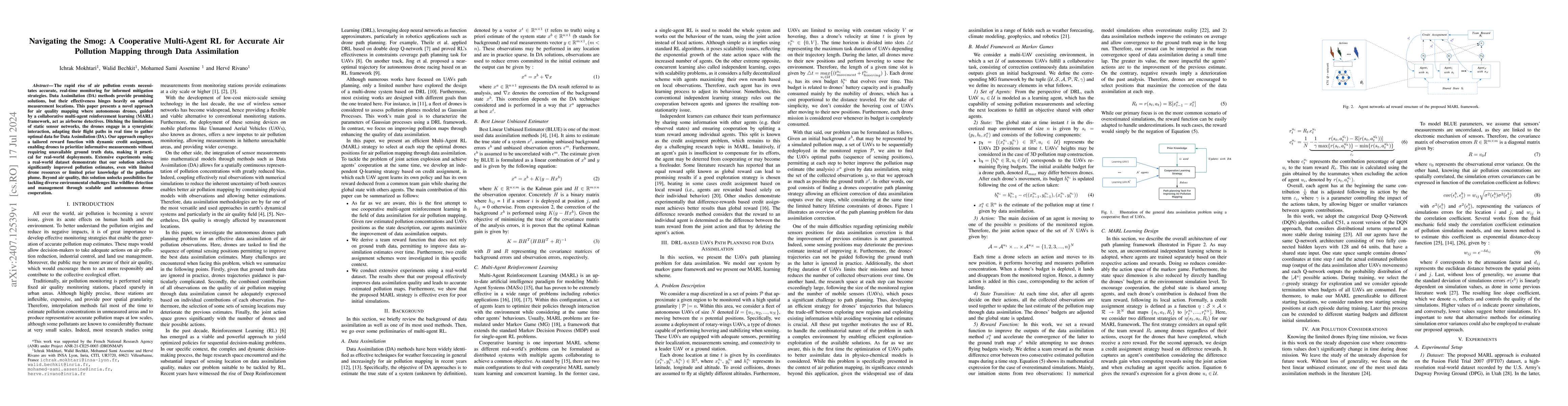
The rapid rise of air pollution events necessitates accurate, real-time monitoring for informed mitigation strategies. Data Assimilation (DA) methods provide promising solutions, but their effectiveness hinges heavily on optimal measurement locations. This paper presents a novel approach for air quality mapping where autonomous drones, guided by a collaborative multi-agent reinforcement learning (MARL) framework, act as airborne detectives. Ditching the limitations of static sensor networks, the drones engage in a synergistic interaction, adapting their flight paths in real time to gather optimal data for Data Assimilation (DA). Our approach employs a tailored reward function with dynamic credit assignment, enabling drones to prioritize informative measurements without requiring unavailable ground truth data, making it practical for real-world deployments. Extensive experiments using a real-world dataset demonstrate that our solution achieves significantly improved pollution estimates, even with limited drone resources or limited prior knowledge of the pollution plume. Beyond air quality, this solution unlocks possibilities for tackling diverse environmental challenges like wildfire detection and management through scalable and autonomous drone cooperation.
AI Key Findings
Get AI-generated insights about this paper's methodology, results, significance, and more — seven facets brought into focus.
Impact
Authors
PDF Preview
Key Terms
Citation Network
Current paper (gray), citations (green), references (blue)
Display is limited for performance on very large graphs.
Discussion 0