Near-real time fires detection using satellite imagery in Sudan conflict
Publication
Metrics
Paper Preview
Abstract
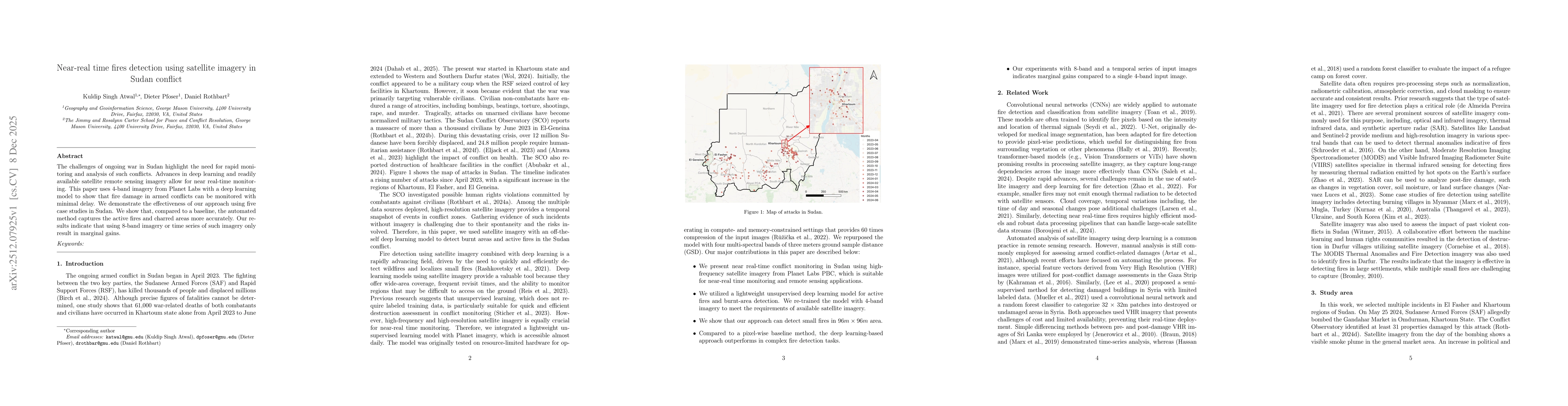
The challenges of ongoing war in Sudan highlight the need for rapid monitoring and analysis of such conflicts. Advances in deep learning and readily available satellite remote sensing imagery allow for near real-time monitoring. This paper uses 4-band imagery from Planet Labs with a deep learning model to show that fire damage in armed conflicts can be monitored with minimal delay. We demonstrate the effectiveness of our approach using five case studies in Sudan. We show that, compared to a baseline, the automated method captures the active fires and charred areas more accurately. Our results indicate that using 8-band imagery or time series of such imagery only result in marginal gains.
AI Key Findings
Get AI-generated insights about this paper's methodology, results, significance, and more — seven facets brought into focus.
Discussion 0