Neighborhood Feature Pooling for Remote Sensing Image Classification
More tools
Abstract
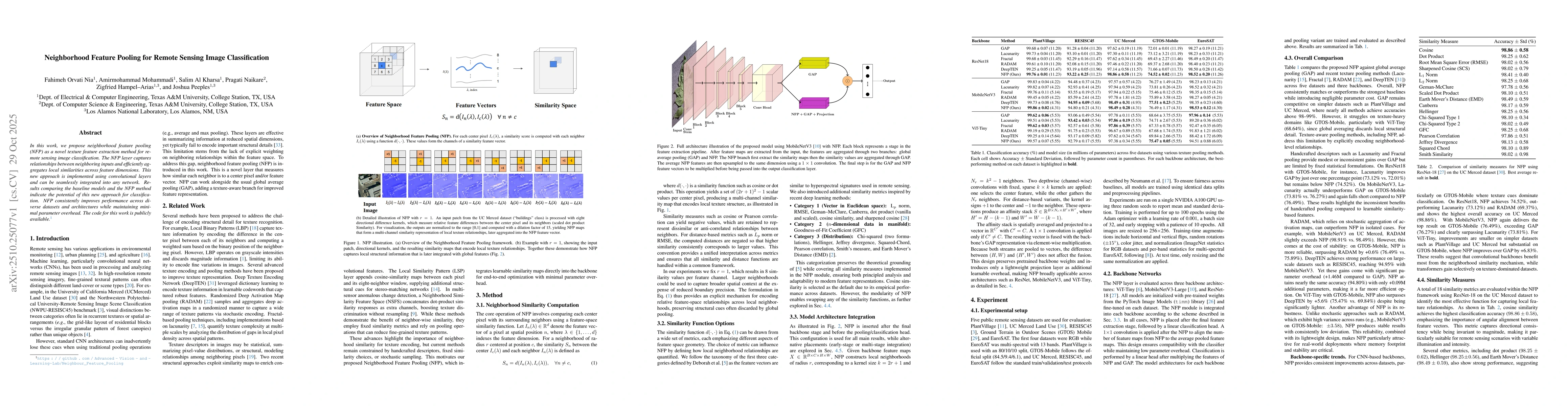
In this work, we propose neighborhood feature pooling (NFP) as a novel texture feature extraction method for remote sensing image classification. The NFP layer captures relationships between neighboring inputs and efficiently aggregates local similarities across feature dimensions. Implemented using convolutional layers, NFP can be seamlessly integrated into any network. Results comparing the baseline models and the NFP method indicate that NFP consistently improves performance across diverse datasets and architectures while maintaining minimal parameter overhead.
Analysis
AI-generated · verify against the original paper
Generated Nov 8, 2025ResultsWhat the authors found
- NFP achieves up to 6.83% accuracy improvements on challenging benchmarks like GTOS-Mobile
- NFP outperforms state-of-the-art pooling methods including GAP, Lacunarity, Fractal, and RADAM
- NFP produces more discriminative and semantically meaningful feature embeddings
LimitationsWhere the findings need caution
- The method's performance may degrade with extremely large-scale datasets
- The computational overhead of neighborhood similarity calculations could be a limitation
MethodologyHow the work was done
The research introduces NFP (Neighborhood Similarity Pattern) as a novel pooling method for remote sensing image classification. It leverages local similarity relationships within the feature space to preserve fine-grained spatial structure alongside global semantic information. The methodology involves extensive experiments across five public datasets and three backbone architectures.
SignificanceWhy the work matters
This research advances remote sensing image classification by enabling convolutional backbones to better preserve spatial details. The method's effectiveness across diverse architectures and datasets suggests broad applicability in ecological monitoring, precision agriculture, and urban planning.
Technical contributionsWhat the work introduces
The technical contribution is the development of NFP, a pooling method that explicitly models local similarity relationships within the feature space to enhance texture-aware classification.
NoveltyHow it differs from prior work
The novelty lies in explicitly modeling local similarity relationships within the feature space, combining fine-grained spatial structure preservation with global semantic information, and demonstrating superior performance across multiple architectures and datasets.
Future workQuestions that remain
- Incorporating learnable weighting mechanisms
- Exploring radial or multi-scale neighborhoods
- Extending NFP to domain adaptation and lightweight deployment in vision tasks
Discussion 0