ArxivLens
ArXiv cs.RO

Novel UWB Synthetic Aperture Radar Imaging for Mobile Robot Mapping

Charith Premachandra, U-Xuan Tan

2510.02874 Published Oct 3, 2025
View PDF

Publication

Published: Oct 03, 2025
Categories: cs.RO

Metrics

Source: ArXiv

Quick Answers

What methodology did the authors use?

The study proposes a pipeline for mobile robots to use UWB radar-based SAR imaging for environmental mapping. It involves sensor configuration, SAR imaging algorithms (trajectory estimation, range compression, back-projection), and evaluation of feature detectors for loop closure detection in adverse conditions. More in Methodology →

What are the key results?

UWB SAR imaging successfully creates high-resolution environmental maps with detailed spatial features. — AKAZE and ORB demonstrated superior performance in feature matching compared to SIFT, SURF, BRISK, and other detectors. More in Key Results →

Why is this work significant?

This research addresses the challenge of environmental perception in poor visibility conditions, offering a viable alternative to LiDAR and cameras. It enhances robotic navigation reliability through accurate mapping and loop closure detection in adverse environments. More in Significance →

What are the main limitations?

UWB SAR images have sparse feature content, which may limit feature detection accuracy. — The study primarily evaluates feature detectors in controlled environments, requiring further validation in real-world dynamic scenarios. More in Limitations →

Paper Preview

Abstract

Traditional exteroceptive sensors in mobile robots, such as LiDARs and cameras often struggle to perceive the environment in poor visibility conditions. Recently, radar technologies, such as ultra-wideband (UWB) have emerged as potential alternatives due to their ability to see through adverse environmental conditions (e.g. dust, smoke and rain). However, due to the small apertures with low directivity, the UWB radars cannot reconstruct a detailed image of its field of view (FOV) using a single scan. Hence, a virtual large 
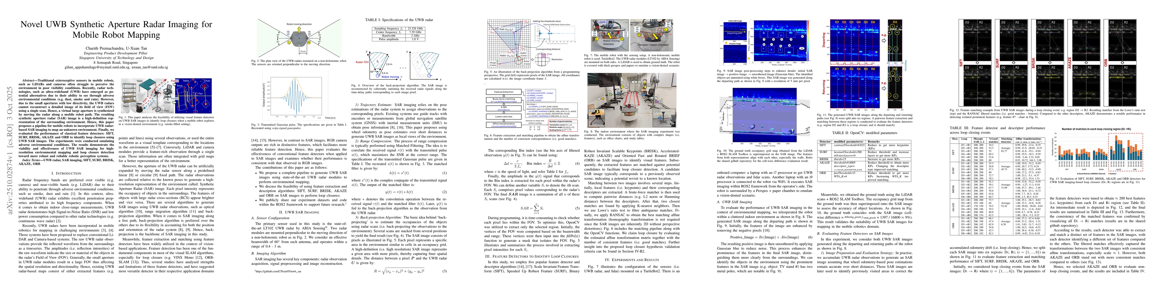
aperture is synthesized by moving the radar along a mobile robot path. The resulting synthetic aperture radar (SAR) image is a high-definition representation of the surrounding environment. Hence, this paper proposes a pipeline for mobile robots to incorporate UWB radar-based SAR imaging to map an unknown environment. Finally, we evaluated the performance of classical feature detectors: SIFT, SURF, BRISK, AKAZE and ORB to identify loop closures using UWB SAR images. The experiments were conducted emulating adverse environmental conditions. The results demonstrate the viability and effectiveness of UWB SAR imaging for high-resolution environmental mapping and loop closure detection toward more robust and reliable robotic perception systems.

Key Findings, in focus

Seven facets of this paper, analysed and brought into focus by AI.

AI-generated · verify against source Generated Oct 12, 2025
In focus · one-line synthesis

This research addresses the challenge of environmental perception in poor visibility conditions, offering a viable alternative to LiDAR and cameras.

01
MethodologyHow they did it

The study proposes a pipeline for mobile robots to use UWB radar-based SAR imaging for environmental mapping. It involves sensor configuration, SAR imaging algorithms (trajectory estimation, range compression, back-projection), and evaluation of feature detectors for loop closure detection in adverse conditions.

02
ResultsWhat they found
  • UWB SAR imaging successfully creates high-resolution environmental maps with detailed spatial features.
  • AKAZE and ORB demonstrated superior performance in feature matching compared to SIFT, SURF, BRISK, and other detectors.
  • The method enables robust loop closure detection in vision-denied scenarios using SAR images, validating its potential for reliable robotic perception.
03
SignificanceWhy it matters

This research addresses the challenge of environmental perception in poor visibility conditions, offering a viable alternative to LiDAR and cameras. It enhances robotic navigation reliability through accurate mapping and loop closure detection in adverse environments.

04
Technical ContributionsWhat's new technically

The paper presents a complete pipeline for generating and enhancing UWB SAR images, along with a novel validation framework for loop closure detection using feature matching and affine transformations.

05
NoveltyWhat sets it apart

This work introduces the application of SAR imaging with UWB radar for mobile robot mapping, combining trajectory estimation, back-projection algorithms, and feature-based loop closure detection in vision-denied scenarios, which is novel in the context of robotic perception systems.

06
LimitationsWhat to be cautious about
  • UWB SAR images have sparse feature content, which may limit feature detection accuracy.
  • The study primarily evaluates feature detectors in controlled environments, requiring further validation in real-world dynamic scenarios.
07
Future WorkWhere it goes next
  • Extend the approach to UWB SAR-based SLAM for autonomous navigation in complex environments.
  • Investigate advanced feature descriptors tailored for SAR image characteristics.
  • Integrate multi-sensor fusion with UWB SAR for improved robustness in varying environmental conditions.

Paper Details

Paper ID: 2510.02874
Comments: Accepted and presented at the 15th International Conference on Indoor Positioning and Indoor Navigation (IPIN) 2025, see https://ipin-conference.org/2025/
Categories:
cs.RO

How to Cite This Paper

Reference manager: RIS EndNote

Related Papers

4 found


Discussion 0

This website uses cookies to ensure you get the best experience. Learn more