On prior smoothing with discrete spatial data in the context of disease mapping

Source: ArXiv

AI Quick Summary

This study compares the smoothing effects of seven common spatial priors in disease mapping using Markov random field models, analyzing both simulated and real data from Spain and England. It proposes metrics to quantify and calibrate the smoothing introduced by different priors, aiming to understand how varying model parameters influence these effects.

Share: Share on X LinkedIn

Summary

Disease mapping attempts to explain observed health event counts across areal units, typically using Markov random field models. These models rely on spatial priors to account for variation in raw relative risk or rate estimates. Spatial priors introduce some degree of smoothing, wherein, for any particular unit, empirical risk or incidence estimates are either adjusted towards a suitable mean or incorporate neighbor-based smoothing. While model explanation may be the primary focus, the literature lacks a comparison of the amount of smoothing introduced by different spatial priors. Additionally, there has been no investigation into how varying the parameters of these priors influences the resulting smoothing. This study examines seven commonly used spatial priors 
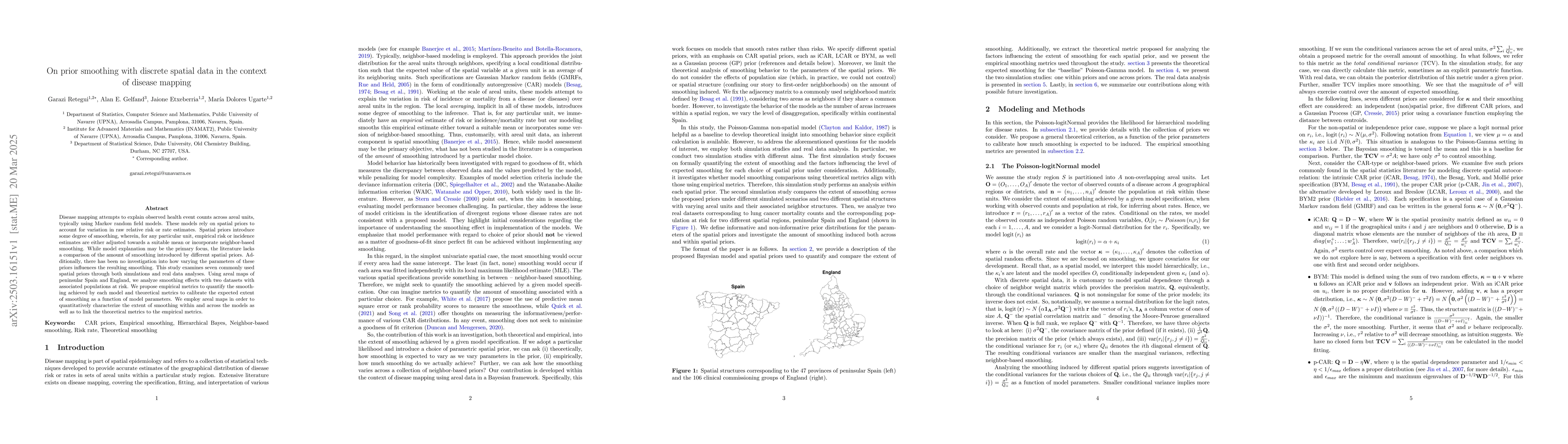
through both simulations and real data analyses. Using areal maps of peninsular Spain and England, we analyze smoothing effects with two datasets with associated populations at risk. We propose empirical metrics to quantify the smoothing achieved by each model and theoretical metrics to calibrate the expected extent of smoothing as a function of model parameters. We employ areal maps in order to quantitatively characterize the extent of smoothing within and across the models as well as to link the theoretical metrics to the empirical metrics.

AI Key Findings

Generated Jun 10, 2025

Methodology

The study examines seven spatial priors for disease mapping using simulations and real data analyses, proposing empirical and theoretical metrics to quantify and calibrate smoothing. It focuses on areal maps of peninsular Spain and England, varying spatial prior parameters to analyze their smoothing effects.

Key Results

  • Seven spatial priors were compared, revealing differences in smoothing effects.
  • Empirical and theoretical metrics were proposed to quantify smoothing achieved by each model.
  • Smoothing behavior was linked to theoretical metrics using areal maps.
  • The study found that varying spatial prior parameters significantly influences smoothing.
  • Small-size informative priors induced greater smoothing compared to larger ones.

Significance

This research is important as it addresses the lack of comparison in the literature regarding the amount of smoothing introduced by different spatial priors in disease mapping.

Technical Contribution

The paper presents novel empirical and theoretical metrics for assessing and calibrating smoothing in spatial priors for disease mapping.

Novelty

This work stands out by quantifying and comparing the smoothing effects of various spatial priors, providing a comprehensive analysis not previously addressed in the literature.

Limitations

  • The study did not explore the impact of temporal dependence on smoothing over time.
  • It did not investigate the effects of multivariate disease mapping with within-unit dependence.
  • The findings are specific to areal data and may not generalize to other spatial data types.

Future Work

  • Explore dynamic disease mapping with autoregressive specifications.
  • Investigate the effects of introducing within-unit dependence in joint modeling.
  • Extend the analysis to other spatial data types beyond areal data.

Paper Details

PDF Preview

Download PDF

Citation Network

Current paper (gray), citations (green), references (blue)

Display is limited for performance on very large graphs.

Current Paper
Citations
References
Click to view

No citations found for this paper.

Comments (0)

This website uses cookies to ensure you get the best experience. Learn more