Online Inference and Detection of Curbs in Partially Occluded Scenes with Sparse LIDAR
Publication
Metrics
Paper Preview
Abstract
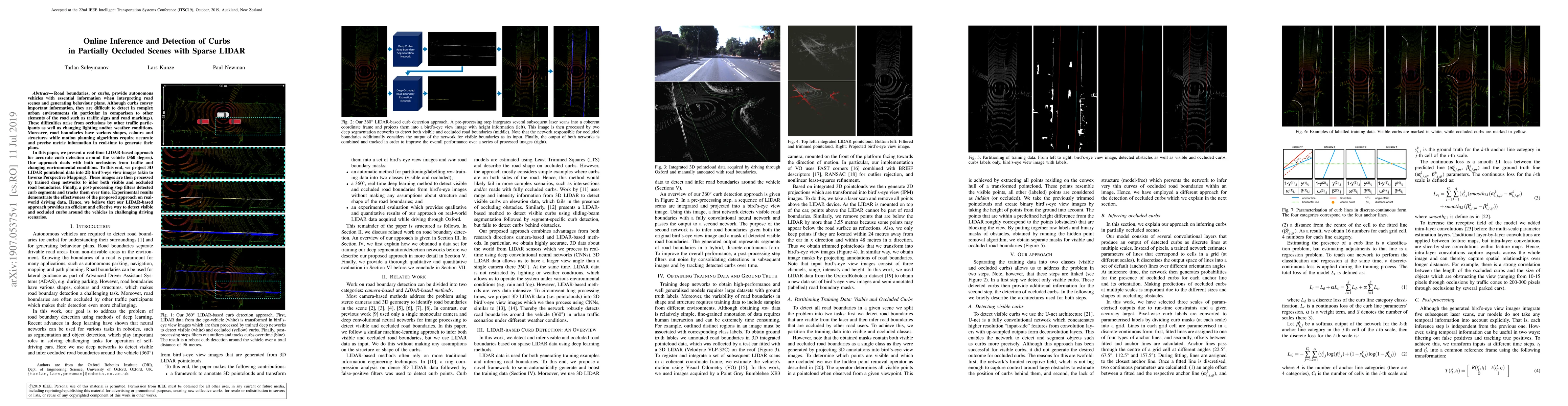
Road boundaries, or curbs, provide autonomous vehicles with essential information when interpreting road scenes and generating behaviour plans. Although curbs convey important information, they are difficult to detect in complex urban environments (in particular in comparison to other elements of the road such as traffic signs and road markings). These difficulties arise from occlusions by other traffic participants as well as changing lighting and/or weather conditions. Moreover, road boundaries have various shapes, colours and structures while motion planning algorithms require accurate and precise metric information in real-time to generate their plans. In this paper, we present a real-time LIDAR-based approach for accurate curb detection around the vehicle (360 degree). Our approach deals with both occlusions from traffic and changing environmental conditions. To this end, we project 3D LIDAR pointcloud data into 2D bird's-eye view images (akin to Inverse Perspective Mapping). These images are then processed by trained deep networks to infer both visible and occluded road boundaries. Finally, a post-processing step filters detected curb segments and tracks them over time. Experimental results demonstrate the effectiveness of the proposed approach on real-world driving data. Hence, we believe that our LIDAR-based approach provides an efficient and effective way to detect visible and occluded curbs around the vehicles in challenging driving scenarios.
AI Key Findings
Get AI-generated insights about this paper's methodology, results, significance, and more — seven facets brought into focus.
Impact
Paper Details
PDF Preview
Key Terms
Citation Network
Current paper (gray), citations (green), references (blue)
Display is limited for performance on very large graphs.
Discussion 0