Authors
Summary
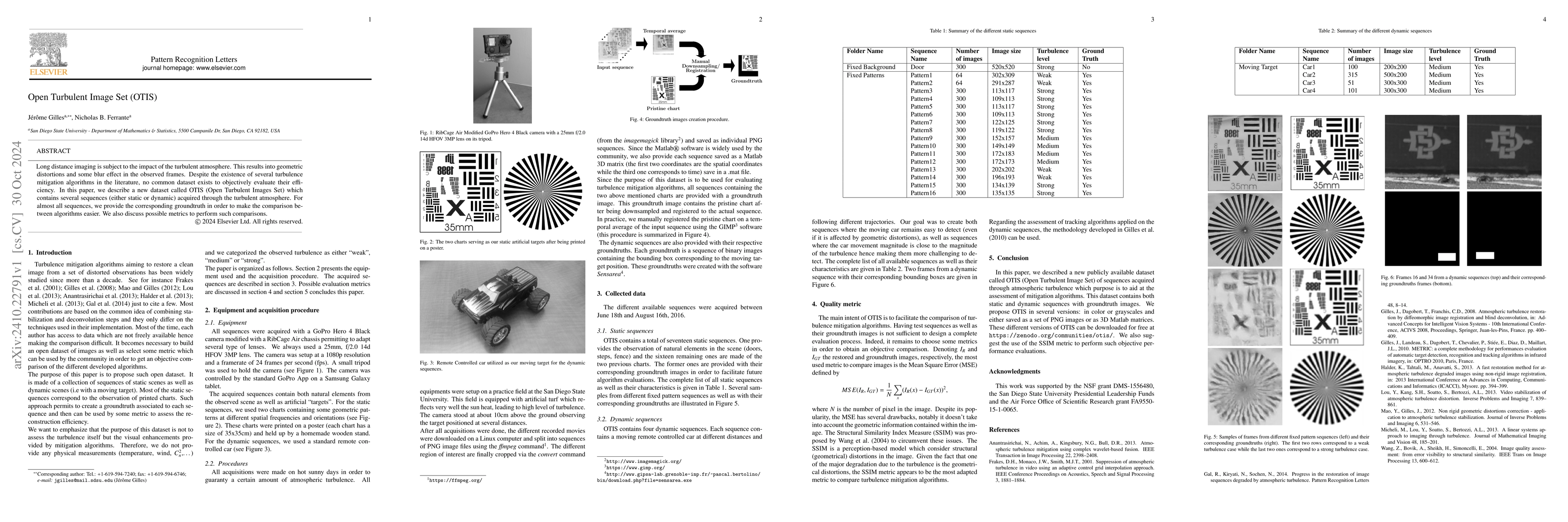
Long distance imaging is subject to the impact of the turbulent atmosphere. This results into geometric distortions and some blur effect in the observed frames. Despite the existence of several turbulence mitigation algorithms in the literature, no common dataset exists to objectively evaluate their efficiency. In this paper, we describe a new dataset called OTIS (Open Turbulent Images Set) which contains several sequences (either static or dynamic) acquired through the turbulent atmosphere. For almost all sequences, we provide the corresponding groundtruth in order to make the comparison between algorithms easier. We also discuss possible metrics to perform such comparisons.
AI Key Findings
Generated Sep 05, 2025
Methodology
The paper describes a new dataset called OTIS (Open Turbulent Images Set) which contains several sequences acquired through the turbulent atmosphere.
Key Results
- OTIS contains both static and dynamic sequences with groundtruth images.
- The dataset is publicly available and can be used to evaluate turbulence mitigation algorithms.
- Possible metrics to perform such comparisons include Mean Square Error (MSE) and Structural Similarity Index Measure (SSIM).
- The SSIM metric appears to be the most adapted metric to compare turbulencemitigationalgorithms.
- The dataset is available in color or grayscale and can be downloaded for free.
Significance
Long distance imaging is subject to the impact of the turbulent atmosphere, resulting in geometric distortions and blur effect. This paper aims to aid at the assessment of turbulence mitigation algorithms.
Technical Contribution
The paper proposes OTIS as a publicly available dataset for evaluating turbulence mitigation algorithms.
Novelty
OTIS is a novel contribution to the field of computer vision, providing a standardized dataset for assessing turbulencemitigationalgorithms.
Limitations
- The dataset only contains sequences acquired through a specific type of camera equipment.
- The groundtruth images may not be accurate for all sequences.
Future Work
- Developing more advanced metrics to compare turbulencemitigationalgorithms.
- Improving the accuracy of groundtruth images.
- Creating a larger dataset with more diverse sequences.
Paper Details
PDF Preview
Citation Network
Current paper (gray), citations (green), references (blue)
Display is limited for performance on very large graphs.
Similar Papers
Found 4 papersOpen Set Synthetic Image Source Attribution
Tai D. Nguyen, Matthew C. Stamm, Shengbang Fang
OSSGAN: Open-Set Semi-Supervised Image Generation
Kai Katsumata, Hideki Nakayama, Duc Minh Vo
| Title | Authors | Year | Actions |
|---|

Comments (0)