PathPainter: Transferring the Generalization Ability of Image Generation Models to Embodied Navigation
Publication
Metrics
Paper Preview
Abstract
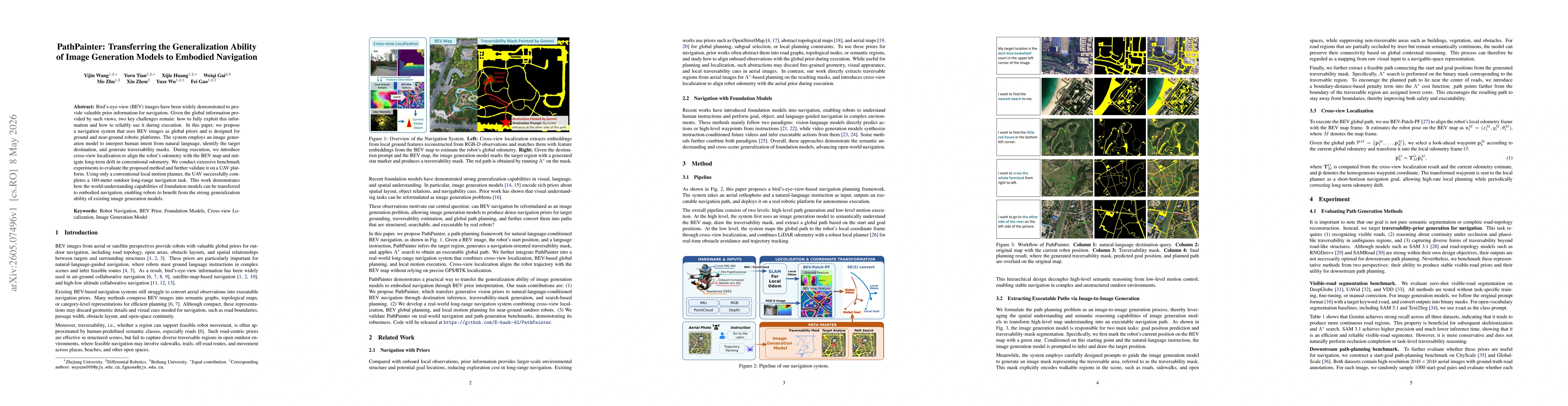
Bird's-eye-view (BEV) images have been widely demonstrated to provide valuable prior information for navigation. Given the global information provided by such views, two key challenges remain: how to fully exploit this information and how to reliably use it during execution. In this paper, we propose a navigation system that uses BEV images as global priors and is designed for ground and near-ground robotic platforms. The system employs an image generation model to interpret human intent from natural language, identify the target destination, and generate traversability masks. During execution, we introduce cross-view localization to align the robot's odometry with the BEV map and mitigate long-term drift in conventional odometry. We conduct extensive benchmark experiments to evaluate the proposed method and further validate it on a UAV platform. Using only a conventional local motion planner, the UAV successfully completes a 160-meter outdoor long-range navigation task. This work demonstrates how the world-understanding capabilities of foundation models can be transferred to embodied navigation, enabling robots to benefit from the strong generalization ability of existing image generation models.
AI Key Findings
Get AI-generated insights about this paper's methodology, results, significance, and more — seven facets brought into focus.
Discussion 0