Publication
Metrics
AI Quick Summary
This paper proposes a physics-informed statistical model to estimate wildfire aerosol propagation using multi-source geostationary satellite data. The model integrates heterogeneous remote-sensing data streams with an advection-diffusion equation and includes a bias correction process, demonstrating its application and effectiveness with California wildfire data.
Paper Preview
Abstract
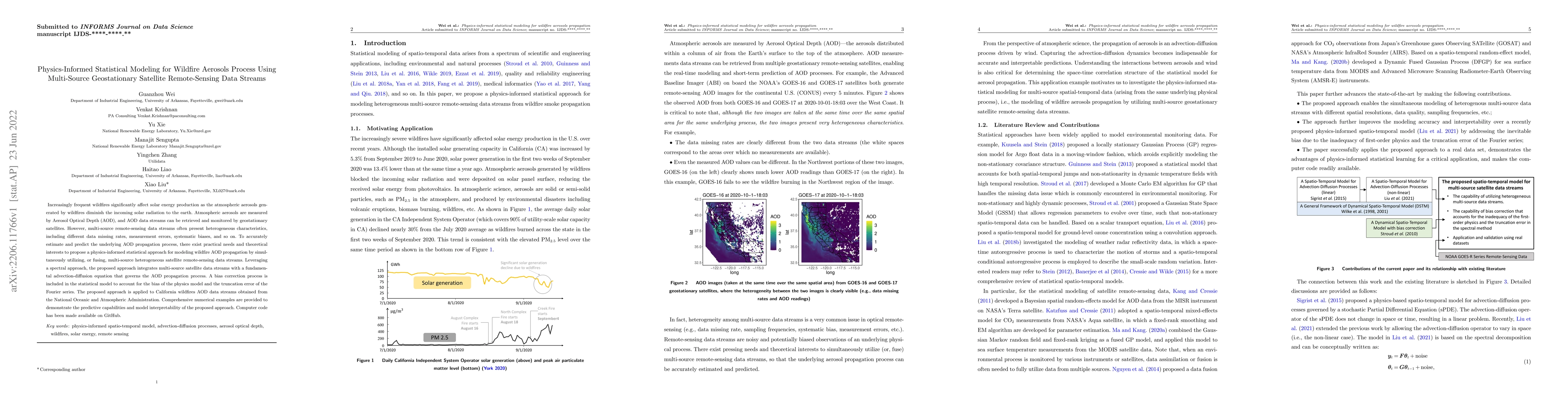
Increasingly frequent wildfires significantly affect solar energy production as the atmospheric aerosols generated by wildfires diminish the incoming solar radiation to the earth. Atmospheric aerosols are measured by Aerosol Optical Depth (AOD), and AOD data streams can be retrieved and monitored by geostationary satellites. However, multi-source remote-sensing data streams often present heterogeneous characteristics, including different data missing rates, measurement errors, systematic biases, and so on. To accurately estimate and predict the underlying AOD propagation process, there exist practical needs and theoretical interests to propose a physics-informed statistical approach for modeling wildfire AOD propagation by simultaneously utilizing, or fusing, multi-source heterogeneous satellite remote-sensing data streams. Leveraging a spectral approach, the proposed approach integrates multi-source satellite data streams with a fundamental advection-diffusion equation that governs the AOD propagation process. A bias correction process is included in the statistical model to account for the bias of the physics model and the truncation error of the Fourier series. The proposed approach is applied to California wildfires AOD data streams obtained from the National Oceanic and Atmospheric Administration. Comprehensive numerical examples are provided to demonstrate the predictive capabilities and model interpretability of the proposed approach. Computer code has been made available on GitHub.
AI Key Findings
Get AI-generated insights about this paper's methodology, results, significance, and more — seven facets brought into focus.
Impact
Paper Details
Authors
PDF Preview
Key Terms
Citation Network
Current paper (gray), citations (green), references (blue)
Display is limited for performance on very large graphs.
Discussion 0