Plan2Map: A Multimodal Benchmark for Document-Grounded Geospatial Boundary Reconstruction from Planning Records
Publication
Metrics
AI Quick Summary
Plan2Map introduces a multimodal benchmark and a geospatial reasoning system for reconstructing boundaries from UK planning records, using source documents like text, schedules, and maps. The GeoPlanAgent system outperforms direct vision-language baselines by breaking the task into evidence extraction, localisation, map registration, boundary segmentation, projection, and verification, achieving strong IoU metrics and revealing that localization and map registration are the main error sources while supervised segmentation improves pixel accuracy.
Paper Preview
Abstract
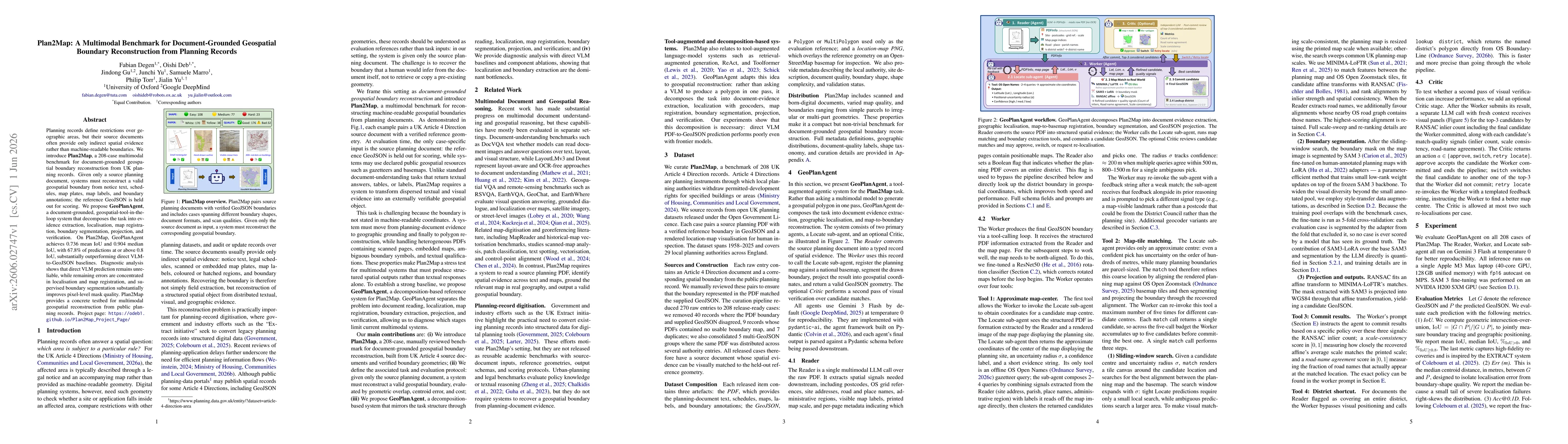
Planning records define restrictions over geographic areas, but their source documents often provide only indirect spatial evidence rather than machine-readable boundaries. We introduce Plan2Map, a 208-case multimodal benchmark for document-grounded geospatial boundary reconstruction from UK planning records. Given only a source planning document, systems must reconstruct a valid geospatial boundary from notice text, schedules, map plates, map labels, and boundary annotations; the reference GeoJSON is held out for scoring. We propose GeoPlanAgent, a document-grounded, geospatial-tool-in-the-loop system that decomposes the task into evidence extraction, localisation, map registration, boundary segmentation, projection, and verification. On Plan2Map, GeoPlanAgent achieves 0.736 mean IoU and 0.904 median IoU, with 67.8\% of predictions at or above 0.8 IoU, substantially outperforming direct VLM-to-GeoJSON baselines. Diagnostic analysis shows that direct VLM prediction remains unreliable, while remaining errors are concentrated in localisation and map registration, and supervised boundary segmentation substantially improves pixel-level mask quality. Plan2Map provides a concrete testbed for multimodal geospatial reconstruction from public planning records. Project page: https://odeb1.github.io/Plan2Map_Project_Page/.
AI Key Findings
Get AI-generated insights about this paper's methodology, results, significance, and more — seven facets brought into focus.
Discussion 0