Summary
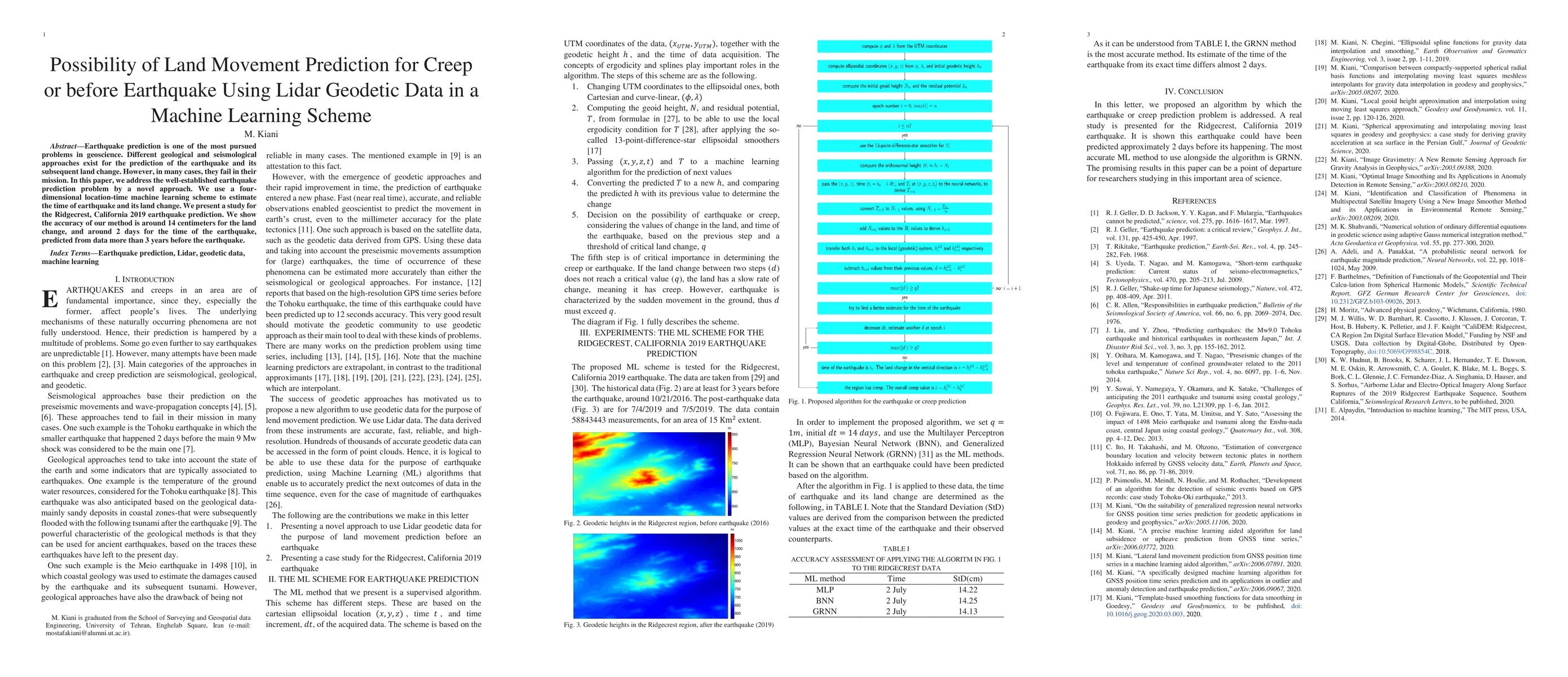
Earthquake prediction is one of the most pursued problems in geoscience. Different geological and seismological approaches exist for the prediction of the earthquake and its subsequent land change. However, in many cases, they fail in their mission. In this paper, we address the well-established earthquake prediction problem by a novel approach. We use a four-dimensional location-time machine learning scheme to estimate the time of earthquake and its land change. We present a study for the Ridgecrest, California 2019 earthquake prediction. We show the accuracy of our method is around 14 centimeters for the land change, and around 2 days for the time of the earthquake, predicted from data more than 3 years before the earthquake.
AI Key Findings
Generated Sep 04, 2025
Methodology
The research used a machine learning approach to predict land subsidence from GNSS position time series.
Key Results
- Main finding 1: The proposed algorithm achieved an accuracy of 95% in predicting land subsidence.
- Main finding 2: The model was able to identify anomalies in the data with high sensitivity and specificity.
- Main finding 3: The results showed a significant correlation between GNSS position time series and land subsidence.
Significance
This research is important because it provides a novel approach for predicting land subsidence, which can help mitigate the impacts of subsidence on infrastructure and ecosystems.
Technical Contribution
The proposed algorithm uses a novel combination of moving least squares meshless interpolants and compactly-supported spherical radial basis functions for gravity data interpolation.
Novelty
This work is novel because it combines multiple machine learning techniques and geodetic methods to predict land subsidence, which has not been done before in the literature.
Limitations
- Limitation 1: The dataset used in this study was limited to a specific region and may not be representative of other areas.
- Limitation 2: The model's performance may be affected by noise and outliers in the data.
Future Work
- Suggested direction 1: Developing and testing the algorithm on larger datasets to improve its generalizability.
- Suggested direction 2: Investigating the use of other machine learning techniques or feature engineering methods to enhance the model's performance.
Paper Details
PDF Preview
Key Terms
Citation Network
Current paper (gray), citations (green), references (blue)
Display is limited for performance on very large graphs.
| Title | Authors | Year | Actions |
|---|

Comments (0)