Preliminary Results in Current Profile Estimation and Doppler-aided Navigation for Autonomous Underwater Gliders
Publication
Metrics
AI Quick Summary
This paper presents navigation algorithms for an autonomous underwater glider (AUG) using an on-board acoustic Doppler current profiler (ADCP) to estimate current profiles and improve positioning. Two formulations are developed using ADCP and GPS data, resulting in accurate current profiles and over-the-ground velocities, validated through 49 days of data off Alaska.
Paper Preview
Abstract
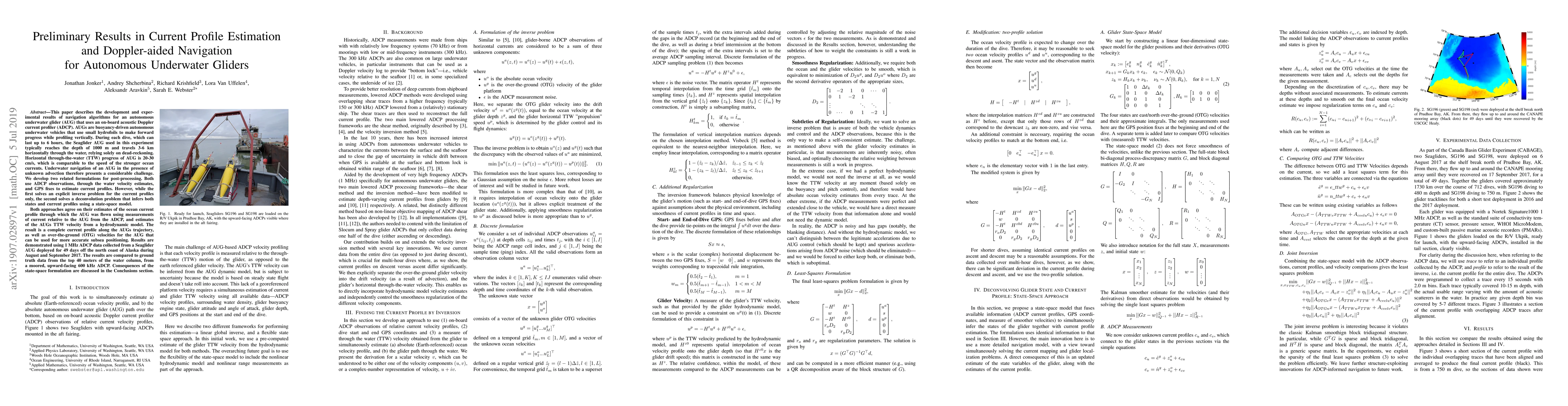
This paper describes the development and experimental results of navigation algorithms for an autonomous underwater glider (AUG) that uses an on-board acoustic Doppler current profiler (ADCP). AUGs are buoyancy-driven autonomous underwater vehicles that use small hydrofoils to make forward progress while profiling vertically. During each dive, which can last up to 6 hours, the Seaglider AUG used in this experiment typically reaches the depth of 1000 m and travels 3-6 km horizontally through the water, relying solely on dead-reckoning. Horizontal through-the-water (TTW) progress of AUG is 20-30 cm/s, which is comparable to the speed of the stronger ocean currents. Underwater navigation of an AUG in the presence of unknown advection therefore presents a considerable challenge. We develop two related formulations for post-processing. Both use ADCP observations, through the water velocity estimates, and GPS fixes to estimate current profiles. However, while the first solves an explicit inverse problem for the current profiles only, the second solves a deconvolution problem that infers both states and current profiles using a state-space model. Both approaches agree on their estimates of the ocean current profile through which the AUG was flown using measurements of current relative to the AUG from the ADCP, and estimates of the AUGs TTW velocity from a hydrodynamic model. The result is a complete current profile along the AUGs trajectory, as well as over-the-ground (OTG) velocities for the AUG that can be used for more accurate subsea positioning. Results are demonstrated using 1 MHz ADCP data collected from a Seaglider AUG deployed for 49 days off the north coast of Alaska during August and September 2017. The results are compared to ground truth data from the top 40 meters of the water column, from a moored, upward-facing 600 kHz ADCP.
AI Key Findings
Get AI-generated insights about this paper's methodology, results, significance, and more — seven facets brought into focus.
Impact
Paper Details
PDF Preview
Key Terms
Citation Network
Current paper (gray), citations (green), references (blue)
Display is limited for performance on very large graphs.
Discussion 0