Putting Recommendations on the Map -- Visualizing Clusters and Relations
Publication
Metrics
Paper Preview
Abstract
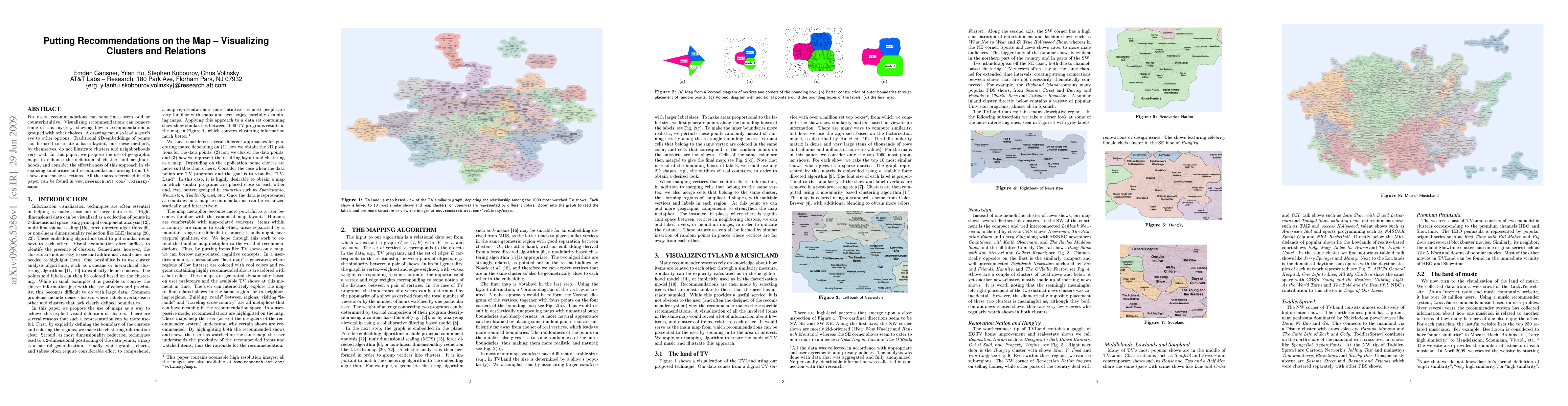
For users, recommendations can sometimes seem odd or counterintuitive. Visualizing recommendations can remove some of this mystery, showing how a recommendation is grouped with other choices. A drawing can also lead a user's eye to other options. Traditional 2D-embeddings of points can be used to create a basic layout, but these methods, by themselves, do not illustrate clusters and neighborhoods very well. In this paper, we propose the use of geographic maps to enhance the definition of clusters and neighborhoods, and consider the effectiveness of this approach in visualizing similarities and recommendations arising from TV shows and music selections. All the maps referenced in this paper can be found in http://www.research.att.com/~volinsky/maps
AI Key Findings
Get AI-generated insights about this paper's methodology, results, significance, and more — seven facets brought into focus.
Impact
Paper Details
PDF Preview
Key Terms
Citation Network
Current paper (gray), citations (green), references (blue)
Display is limited for performance on very large graphs.
Discussion 0