Local governments, as part of 'smart city' initiatives and to promote
interoperability, are increasingly incorporating open-source software into
their data management, analysis, and visualisation workflows. Python, with its
concise and natural syntax, presents a low barrier to entry for municipal staff
without computer science backgrounds. However, with regard to geospatial
visualisations in particular, the range of available Python libraries has
diversified to such an extent that identifying candidate libraries for specific
use cases is a challenging undertaking. This study therefore assesses
prominent, actively-developed visualisation libraries in the Python ecosystem
with respect to their suitability for producing visualisations of large vector
datasets. A simple visualisation task common in urban development is used to
produce near-identical thematic maps across static and an interactive 'tracks'
of comparison. All short-listed libraries were able to generate the sample map
products for both a small and larger dataset. Code complexity differed more
strongly for interactive visualisations. Formal and informal documentation
channels are highlighted to outline available resources for flattening learning
curves. CPU runtimes for the Python-based portion of the process chain differed
starkly for both tracks, pointing to avenues for further research. These
results demonstrate that the Python ecosystem offers local governments powerful
tools, free of vendor lock-in and licensing fees, to produce performant and
consistently formatted visualisations for both internal and public
distribution.
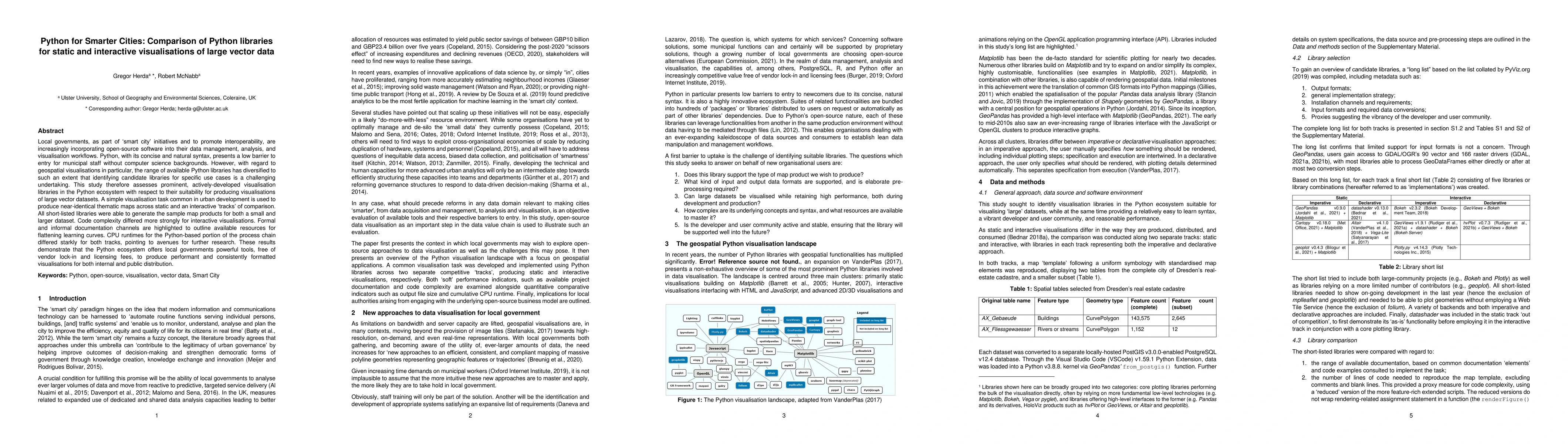
Discussion 0