Quick Summary:

RadioFormer is a transformer model designed for radio map estimation under extreme spatial sampling sparsity. It employs a dual-stream self-attention module and a cross-stream cross-attention module to integrate multiple granularities, achieving superior performance and generalization compared to existing methods.

Summary

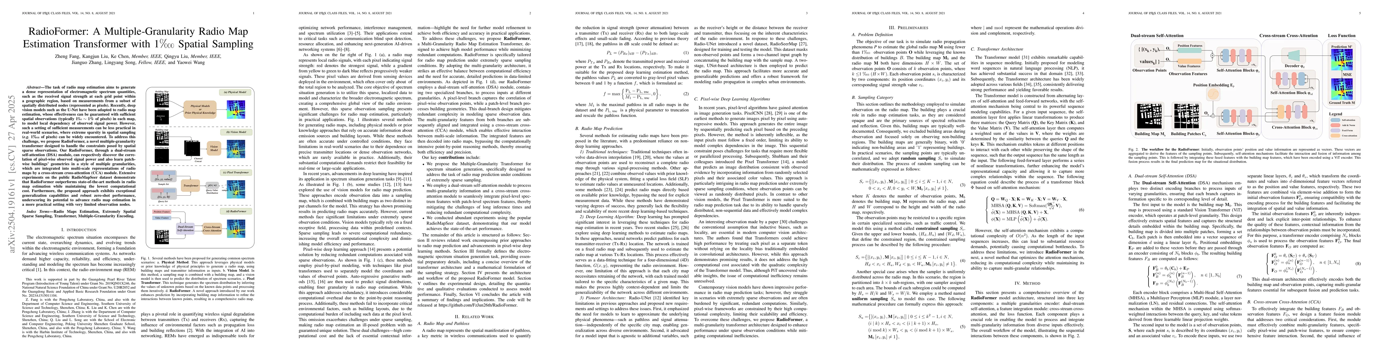
The task of radio map estimation aims to generate a dense representation of electromagnetic spectrum quantities, such as the received signal strength at each grid point within a geographic region, based on measurements from a subset of spatially distributed nodes (represented as pixels). Recently, deep vision models such as the U-Net have been adapted to radio map estimation, whose effectiveness can be guaranteed with sufficient spatial observations (typically 0.01% to 1% of pixels) in each map, to model local dependency of observed signal power. However, such a setting of sufficient measurements can be less practical in real-world scenarios, where extreme sparsity in spatial sampling can be widely encountered. To address this challenge, we propose RadioFormer, a novel multiple-granularity transformer designed to handle the constraints posed by spatial sparse observations. Our RadioFormer, through a dual-stream self-attention (DSA) module, can respectively discover the correlation of pixel-wise observed signal power and also learn patch-wise buildings' geometries in a style of multiple granularities, which are integrated into multi-scale representations of radio maps by a cross stream cross-attention (CCA) module. Extensive experiments on the public RadioMapSeer dataset demonstrate that RadioFormer outperforms state-of-the-art methods in radio map estimation while maintaining the lowest computational cost. Furthermore, the proposed approach exhibits exceptional generalization capabilities and robust zero-shot performance, underscoring its potential to advance radio map estimation in a more practical setting with very limited observation nodes.

AI Key Findings

Generated Jun 09, 2025

Methodology

The research introduces RadioFormer, a transformer-based model that uses dual-stream self-attention (DSA) and cross stream cross-attention (CCA) modules to handle sparse spatial observations in radio map estimation. It adapts multiple granularities for pixel-wise signal power correlation and patch-wise building geometry learning.

Key Results

  • RadioFormer outperforms state-of-the-art methods in radio map estimation.
  • The model maintains the lowest computational cost among competing methods.
  • Demonstrates exceptional generalization capabilities and robust zero-shot performance.

Significance

This research is significant as it addresses the practical challenge of radio map estimation under extreme sparsity in spatial sampling, which is common in real-world scenarios. The proposed approach has the potential to advance radio map estimation with very limited observation nodes, making it more applicable in real-world settings.

Technical Contribution

The primary technical contribution is the development of RadioFormer, a transformer architecture tailored for radio map estimation that efficiently handles sparse spatial observations through dual-stream self-attention and cross stream cross-attention modules.

Novelty

RadioFormer's novelty lies in its multiple-granularity approach to handling sparse data, combining pixel-wise signal power correlation with patch-wise building geometry learning, which is integrated via a transformer architecture, distinguishing it from previous methods primarily based on U-Net or other convolutional models.

Limitations

  • The paper does not discuss limitations explicitly, but potential limitations could include the reliance on a specific dataset (RadioMapSeer) for evaluation and the assumption of certain environmental conditions.
  • Generalizability to diverse urban and natural environments beyond the dataset used for training and testing needs further exploration.

Future Work

  • Investigate the model's performance across a wider range of environments and urban densities.
  • Explore the integration of additional sensor data (e.g., GPS, altitude) to enhance estimation accuracy.

Paper Details

PDF Preview

Download PDF

Key Terms

No key terms available for this paper.

Citation Network

Current paper (gray), citations (green), references (blue)

Current Paper
Citations
References
Click to view

No citations found for this paper.

Comments (0)

This website uses cookies to ensure you get the best experience. Learn more