ReaGeo: Reasoning-Enhanced End-to-End Geocoding with LLMs
Publication
Metrics
AI Quick Summary
ReaGeo reframes geocoding as a text-generation task by converting coordinates into geohash strings, enabling end-to-end reasoning with large language models. It uses Chain-of-Thought reasoning and distance-based reinforcement learning to improve accuracy for explicit addresses, vague location queries, and non-point regions, reducing workflow complexity and error propagation compared to traditional multi-stage methods.
Paper Preview
Abstract
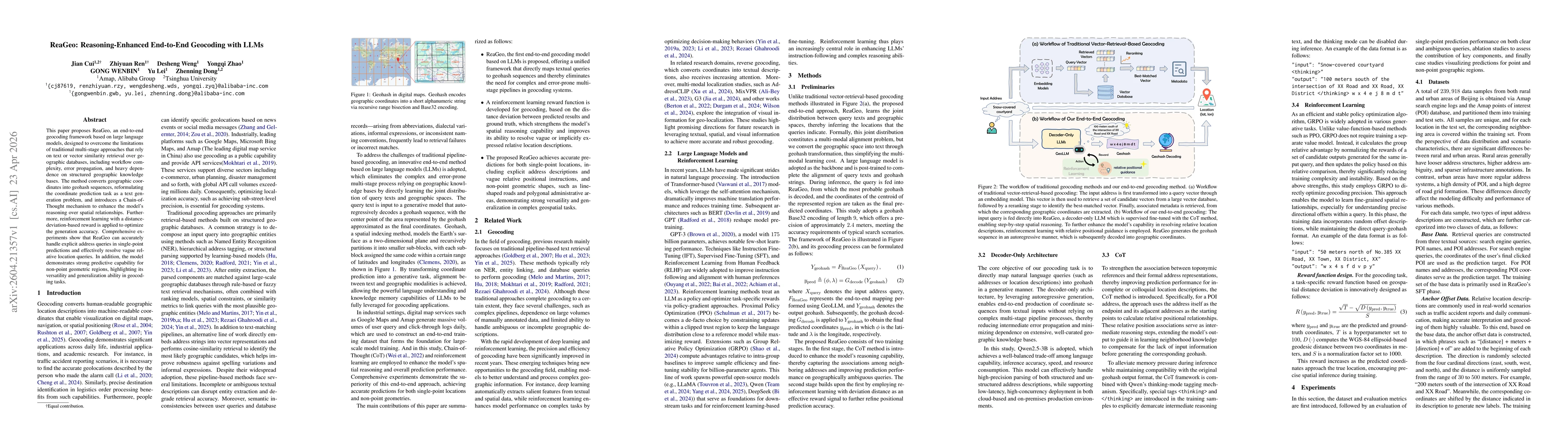
This paper proposes ReaGeo, an end-to-end geocoding framework based on large language models, designed to overcome the limitations of traditional multi-stage approaches that rely on text or vector similarity retrieval over geographic databases, including workflow complexity, error propagation, and heavy dependence on structured geographic knowledge bases. The method converts geographic coordinates into geohash sequences, reformulating the coordinate prediction task as a text generation problem, and introduces a Chain-of-Thought mechanism to enhance the model's reasoning over spatial relationships. Furthermore, reinforcement learning with a distance-deviation-based reward is applied to optimize the generation accuracy. Comprehensive experiments show that ReaGeo can accurately handle explicit address queries in single-point predictions and effectively resolve vague relative location queries. In addition, the model demonstrates strong predictive capability for non-point geometric regions, highlighting its versatility and generalization ability in geocoding tasks.
AI Key Findings
Get AI-generated insights about this paper's methodology, results, significance, and more — seven facets brought into focus.
Discussion 0