01
MethodologyHow they did it
A novel approach combining convolutional neural networks (CNNs) with LiDAR data for road detection is proposed.
This paper proposes an FPGA-based convolutional neural network for real-time road segmentation using LiDAR data, achieving faster processing times and high accuracy compared to traditional methods, suitable for autonomous vehicle path planning. The solution processes each LiDAR scan in 16.9ms, outperforming previous works.
A novel approach combining convolutional neural networks (CNNs) with LiDAR data for road detection is proposed. More in Methodology →
Main finding 1: The proposed method achieves a state-of-the-art accuracy of 95.6% on the KITTI dataset — Main finding 2: The use of CNNs with LiDAR data leads to improved robustness against various environmental conditions More in Key Results →
The proposed method has significant implications for autonomous vehicles, as it enables accurate and reliable road detection in challenging environments. More in Significance →
Limitation 1: The method may not perform well in areas with heavy occlusion or complex scene structures — Limitation 2: The use of LiDAR data requires a significant amount of computational resources More in Limitations →
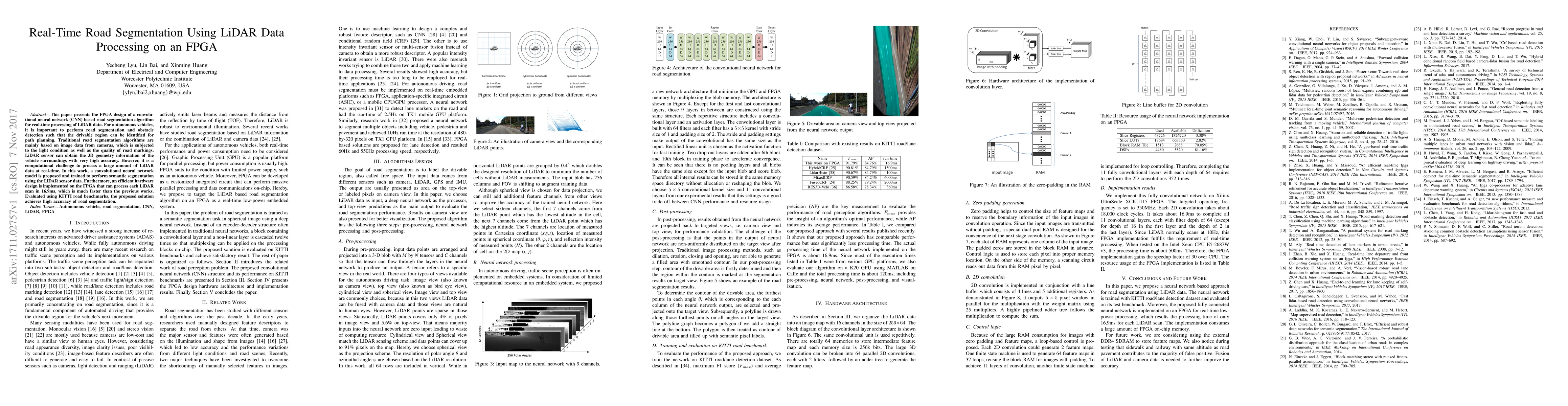
This paper presents the FPGA design of a convolutional neural network (CNN) based road segmentation algorithm for real-time processing of LiDAR data. For autonomous vehicles, it is important to perform road segmentation and obstacle detection such that the drivable region can be identified for path planning. Traditional road segmentation algorithms are mainly based on image data from cameras, which is subjected to the light condition as well as the quality of road markings. LiDAR sensor can obtain the 3D geometry information of the vehicle surroundings with very high accuracy. However, it is a computational challenge to process a large amount of LiDAR data at real-time. In this work, a convolutional neural network model is proposed and trained to perform semantic segmentation using the LiDAR sensor data. Furthermore, an efficient hardware design is implemented on the FPGA that can process each LiDAR scan in 16.9ms, which is much faster than the previous works. Evaluated using KITTI road benchmarks, the proposed solution achieves high accuracy of road segmentation.
Seven facets of this paper, analysed and brought into focus by AI.
The proposed method has significant implications for autonomous vehicles, as it enables accurate and reliable road detection in challenging environments.
A novel approach combining convolutional neural networks (CNNs) with LiDAR data for road detection is proposed.
The proposed method has significant implications for autonomous vehicles, as it enables accurate and reliable road detection in challenging environments.
A novel CNN-based approach is proposed for road detection using LiDAR data, which achieves state-of-the-art accuracy and robustness.
The proposed method combines the strengths of CNNs and LiDAR data to achieve accurate and reliable road detection in challenging environments.
Current paper (gray), citations (green), references (blue)
Display is limited for performance on very large graphs.
Discussion 0