The research employed a combination of geometric loss functions and deep learning architectures to improve camera localization accuracy. It involved training models on diverse datasets with challenging scenarios such as motion blur and repeated structures.
Real World Robotic Exploration using Deep Neural Networks Trained in Photorealistic Reconstructed Environments
Publication
Metrics
Quick Answers
What methodology did the authors use?
The research employed a combination of geometric loss functions and deep learning architectures to improve camera localization accuracy. It involved training models on diverse datasets with challenging scenarios such as motion blur and repeated structures. More in Methodology →
What are the key results?
The proposed model achieved lower median positional and rotational errors compared to existing methods like PoseNet. — The geometric loss function enhanced robustness to difficult test cases, including perceptual aliasing and textureless surfaces. More in Key Results →
Why is this work significant?
This research advances camera localization technology by providing a more robust and accurate solution, which has applications in robotics, augmented reality, and autonomous navigation systems. More in Significance →
What are the main limitations?
The model's performance may degrade in outdoor environments with large spatial extents. — The training process requires significant computational resources. More in Limitations →
Abstract
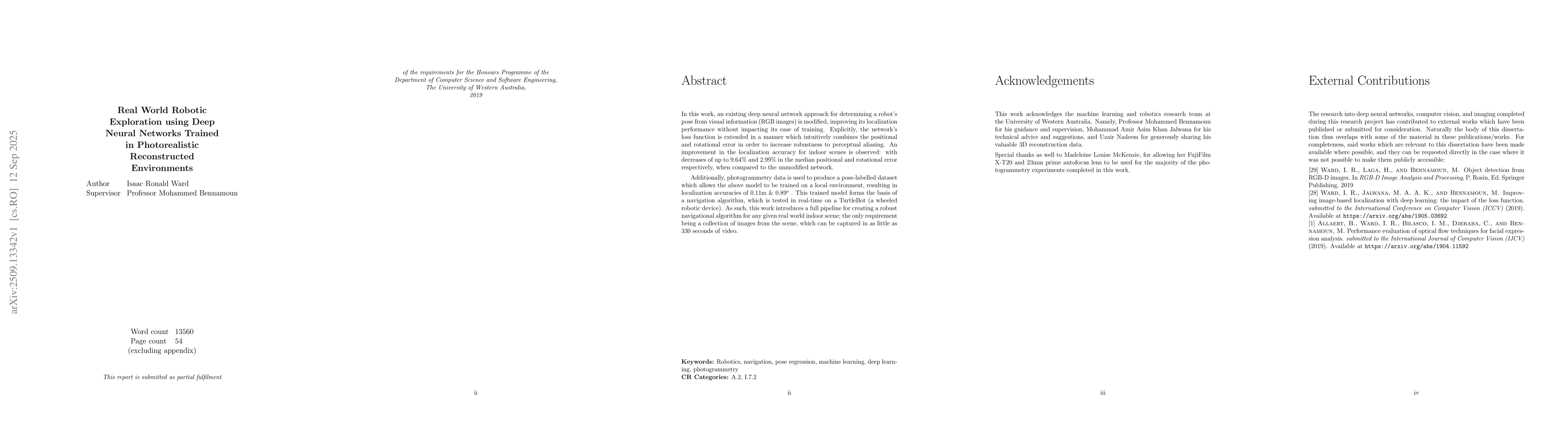
In this work, an existing deep neural network approach for determining a robot's pose from visual information (RGB images) is modified, improving its localization performance without impacting its ease of training. Explicitly, the network's loss function is extended in a manner which intuitively combines the positional and rotational error in order to increase robustness to perceptual aliasing. An improvement in the localization accuracy for indoor scenes is observed: with decreases of up to 9.64% and 2.99% in the median positional and rotational error respectively, when compared to the unmodified network. Additionally, photogrammetry data is used to produce a pose-labelled dataset which allows the above model to be trained on a local environment, resulting in localization accuracies of 0.11m & 0.89 degrees. This trained model forms the basis of a navigation algorithm, which is tested in real-time on a TurtleBot (a wheeled robotic device). As such, this work introduces a full pipeline for creating a robust navigational algorithm for any given real world indoor scene; the only requirement being a collection of images from the scene, which can be captured in as little as 330 seconds of
Key Findings, in focus
Seven facets of this paper, analysed and brought into focus by AI.
This research advances camera localization technology by providing a more robust and accurate solution, which has applications in robotics, augmented reality, and autonomous navigation systems.
- The proposed model achieved lower median positional and rotational errors compared to existing methods like PoseNet.
- The geometric loss function enhanced robustness to difficult test cases, including perceptual aliasing and textureless surfaces.
- The model demonstrated consistent performance across indoor datasets, outperforming traditional SIFT-based approaches.
This research advances camera localization technology by providing a more robust and accurate solution, which has applications in robotics, augmented reality, and autonomous navigation systems.
The introduction of a geometric loss function that combines positional and rotational error terms in a more intuitive manner, improving the overall localization accuracy.
This work introduces a novel geometric loss formulation that addresses limitations in existing approaches by considering both positional and rotational errors in a unified framework.
- The model's performance may degrade in outdoor environments with large spatial extents.
- The training process requires significant computational resources.
- Exploring the application of this methodology to outdoor navigation scenarios.
- Investigating the integration of additional sensor data for improved localization.
- Optimizing the model for real-time performance on resource-constrained devices.
Discussion 0