Redefining Urban Centrality: Integrating Economic Complexity Indices into Central Place Theory
Publication
Metrics
AI Quick Summary
This paper proposes new indices, PCI and ECI, to better capture the spatial structure of urban areas through the lens of economic complexity, enhancing Central Place Theory. Using Seoul's urban big data, the study demonstrates that these indices effectively reflect the spatial distribution of economic activities, infrastructure, and market orientation, providing valuable tools for modern urban planning and regional economic strategies.
Paper Preview
Abstract
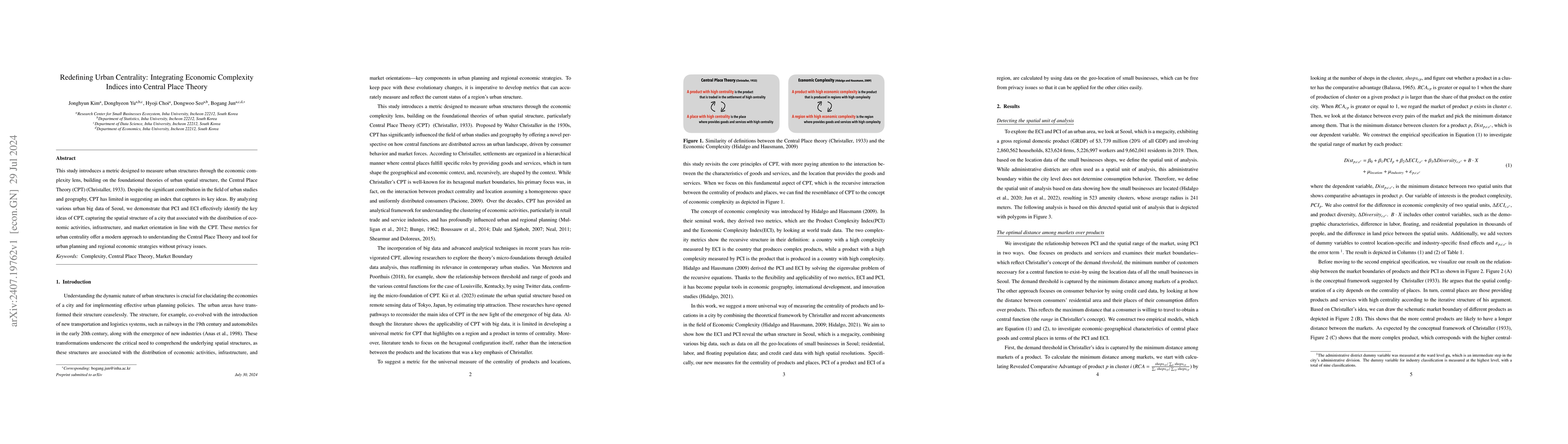
This study introduces a metric designed to measure urban structures through the economic complexity lens, building on the foundational theories of urban spatial structure, the Central Place Theory (CPT) (Christaller, 1933). Despite the significant contribution in the field of urban studies and geography, CPT has limited in suggesting an index that captures its key ideas. By analyzing various urban big data of Seoul, we demonstrate that PCI and ECI effectively identify the key ideas of CPT, capturing the spatial structure of a city that associated with the distribution of economic activities, infrastructure, and market orientation in line with the CPT. These metrics for urban centrality offer a modern approach to understanding the Central Place Theory and tool for urban planning and regional economic strategies without privacy issues.
AI Key Findings
Get AI-generated insights about this paper's methodology, results, significance, and more — seven facets brought into focus.
Impact
Paper Details
Authors
PDF Preview
Citation Network
Current paper (gray), citations (green), references (blue)
Display is limited for performance on very large graphs.
Discussion 0