This study employs CNN and transfer learning techniques to classify aerial images of transmission towers, forests, farmland, and mountains, achieving an overall accuracy of 87% with a custom CNN model. Transfer learning using pretrained VGG16 and MobileNetV2 models significantly improves accuracy, with MobileNetV2 reaching 96% accuracy, demonstrating its effectiveness for landscape classification.
This study investigates the classification of aerial images depicting transmission towers, forests, farmland, and mountains. To complete the classification job, features are extracted from input photos using a Convolutional Neural Network (CNN) architecture. Then, the images are classified using Softmax. To test the model, we ran it for ten epochs using a batch size of 90, the Adam optimizer, and a learning rate of 0.001. Both training and assessment are conducted using a dataset that blends 
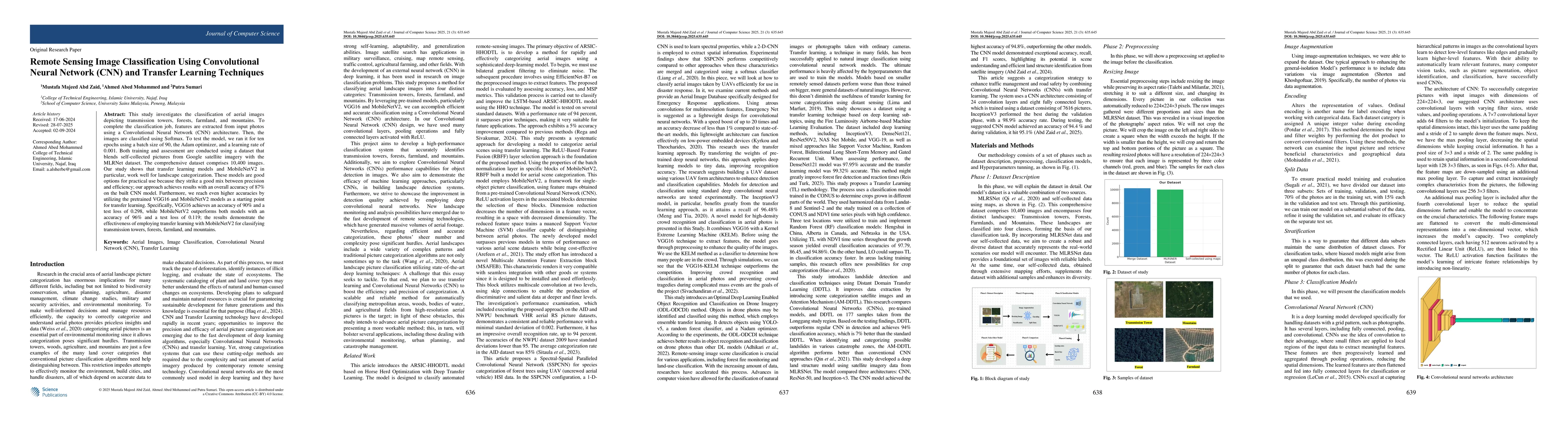
self-collected pictures from Google satellite imagery with the MLRNet dataset. The comprehensive dataset comprises 10,400 images. Our study shows that transfer learning models and MobileNetV2 in particular, work well for landscape categorization. These models are good options for practical use because they strike a good mix between precision and efficiency; our approach achieves results with an overall accuracy of 87% on the built CNN model. Furthermore, we reach even higher accuracies by utilizing the pretrained VGG16 and MobileNetV2 models as a starting point for transfer learning. Specifically, VGG16 achieves an accuracy of 90% and a test loss of 0.298, while MobileNetV2 outperforms both models with an accuracy of 96% and a test loss of 0.119; the results demonstrate the effectiveness of employing transfer learning with MobileNetV2 for classifying transmission towers, forests, farmland, and mountains.
Generated Jun 10, 2025
This study investigates the classification of aerial images using a Convolutional Neural Network (CNN) architecture with transfer learning techniques, specifically MobileNetV2 and VGG16, for categorizing transmission towers, forests, farmland, and mountains. The model is trained and evaluated on a dataset of 10,400 images, combining self-collected satellite imagery with the MLRNet dataset.
This research demonstrates the effectiveness of transfer learning with MobileNetV2 for landscape categorization, providing a practical and efficient solution for real-world applications such as traffic management and road safety.
The paper presents a robust CNN model combined with transfer learning techniques (MobileNetV2 and VGG16) for aerial image classification, achieving high accuracy in categorizing transmission towers, forests, farmland, and mountains.
This work stands out by emphasizing the use of transfer learning with MobileNetV2 for landscape classification, striking a balance between accuracy and computational efficiency, which is particularly valuable for resource-constrained applications.
No key terms available for this paper.
Current paper (gray), citations (green), references (blue)
Lam Pham, Alexander Schindler, Khoa Tran et al.
Yinzhu Cheng
Andreas Maier, Christian Riess, Mohammad Joshaghani et al.
No citations found for this paper.
Comments (0)