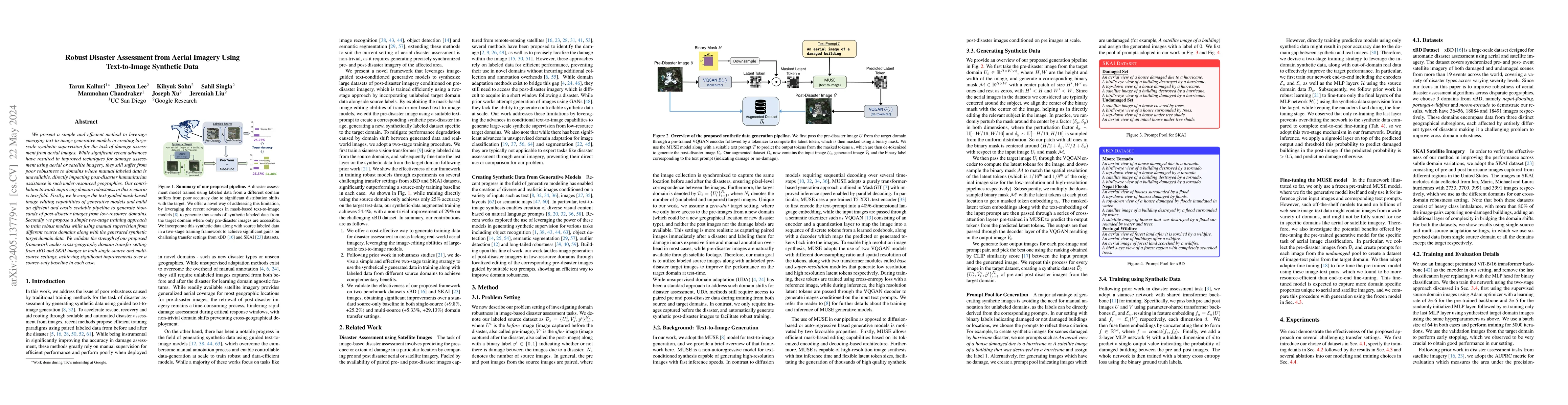
Robust Disaster Assessment from Aerial Imagery Using Text-to-Image Synthetic Data
Publication
Metrics
AI Quick Summary
This paper proposes a method to generate synthetic post-disaster aerial images using text-to-image generative models for damage assessment, aiming to improve robustness in regions with limited labeled data. It combines text-guided image editing with a two-stage training approach to enhance model performance across different geographic domains.
Paper Preview
Abstract
We present a simple and efficient method to leverage emerging text-to-image generative models in creating large-scale synthetic supervision for the task of damage assessment from aerial images. While significant recent advances have resulted in improved techniques for damage assessment using aerial or satellite imagery, they still suffer from poor robustness to domains where manual labeled data is unavailable, directly impacting post-disaster humanitarian assistance in such under-resourced geographies. Our contribution towards improving domain robustness in this scenario is two-fold. Firstly, we leverage the text-guided mask-based image editing capabilities of generative models and build an efficient and easily scalable pipeline to generate thousands of post-disaster images from low-resource domains. Secondly, we propose a simple two-stage training approach to train robust models while using manual supervision from different source domains along with the generated synthetic target domain data. We validate the strength of our proposed framework under cross-geography domain transfer setting from xBD and SKAI images in both single-source and multi-source settings, achieving significant improvements over a source-only baseline in each case.
AI Key Findings
Get AI-generated insights about this paper's methodology, results, significance, and more — seven facets brought into focus.
Impact
Paper Details
Authors
PDF Preview
Key Terms
Citation Network
Current paper (gray), citations (green), references (blue)
Display is limited for performance on very large graphs.
Discussion 0