RUI: A Web-based Road Updates Information System using Google Maps API
Publication
Metrics
AI Quick Summary
The RUI system, a web-based road updates information platform utilizing Google Maps API, aims to provide real-time road situation updates for commuters. The system, developed using the Agile Model, has been evaluated with an ISO 25010 rating of 4.21, indicating excellent performance, and is recommended for expansion and mobile application integration.
Paper Preview
Abstract
Knowing the current situation on every road in an area is still difficult to anticipate. Commuters, riders, and drivers are still dependent on road situations from a local news agency to be well informed and be updated on possible road updates such as vehicular accidents, government road and bridge projects/construction, and other related road obstructions. To give solutions regarding road updates, a web-based roads update information system has been developed that uses Google Maps API allowing people to view and be notified of the real-time updates of the road situation of a specific area. This paper discusses the main system functionalities, including sub-systems and modules of the system, the research approach and methodology, which is the Agile Model, and its impact on disseminating road information and its status. The project has been evaluated using ISO 25010. Based on the evaluation result, the project has been rated 4.21, signifying an excellent performance based on qualitative description through a Likert scale descriptive interpretation. The project has been running and hosted on the world wide web and is expected to expand its coverage area from its origin country to the rest of the world. Based on the initial findings of the study, the respondents agreed that the developed web system was functional and a massive help to commuters, riders, and people who travel a lot. The system's overall effectiveness and performance were excellent based on the criteria set by ISO/IEC 25010. It is recommended for future development to expand the coverage of the road updates, if possible, including the entire Philippine archipelago for long-drive commuters and drivers to be more updated in terms of road updates. Also, include the use of mobile applications for more user-friendly design and interactions.
AI Key Findings
Get AI-generated insights about this paper's methodology, results, significance, and more — seven facets brought into focus.
Impact
Paper Details
Authors
PDF Preview
Key Terms
Citation Network
Current paper (gray), citations (green), references (blue)
Display is limited for performance on very large graphs.
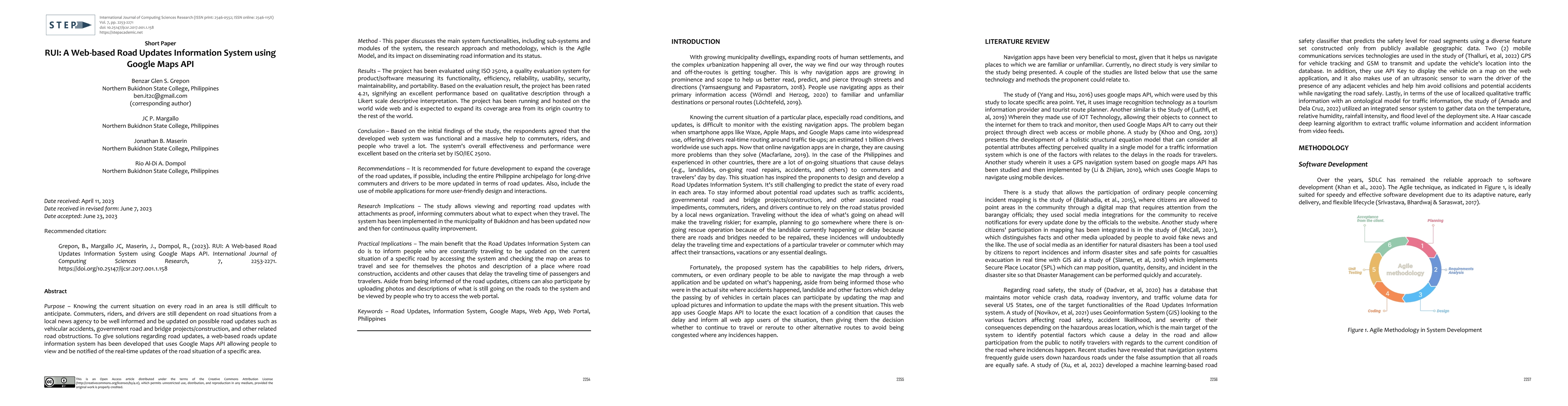
Discussion 0