Scalable general-purpose representations of the built environment are crucial
for geospatial artificial intelligence applications. This paper introduces
S2Vec, a novel self-supervised framework for learning such geospatial
embeddings. S2Vec uses the S2 Geometry library to partition large areas into
discrete S2 cells, rasterizes built environment feature vectors within cells as
images, and applies masked autoencoding on these rasterized images to encode
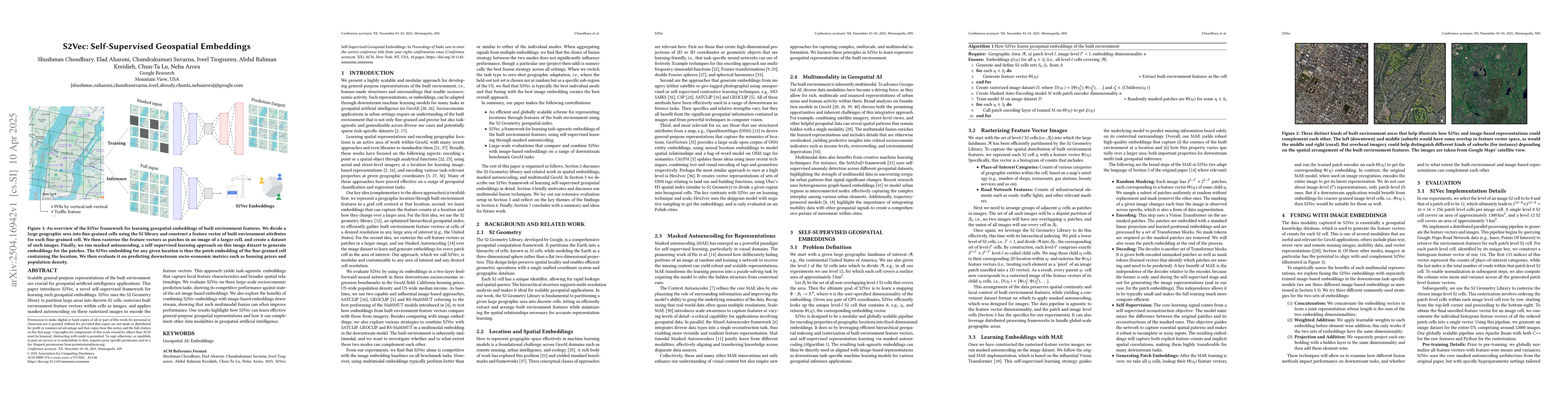
the feature vectors. This approach yields task-agnostic embeddings that capture
local feature characteristics and broader spatial relationships. We evaluate
S2Vec on three large-scale socioeconomic prediction tasks, showing its
competitive performance against state-of-the-art image-based embeddings. We
also explore the benefits of combining S2Vec embeddings with image-based
embeddings downstream, showing that such multimodal fusion can often improve
performance. Our results highlight how S2Vec can learn effective
general-purpose geospatial representations and how it can complement other data
modalities in geospatial artificial intelligence.
Discussion 0