01
MethodologyHow they did it
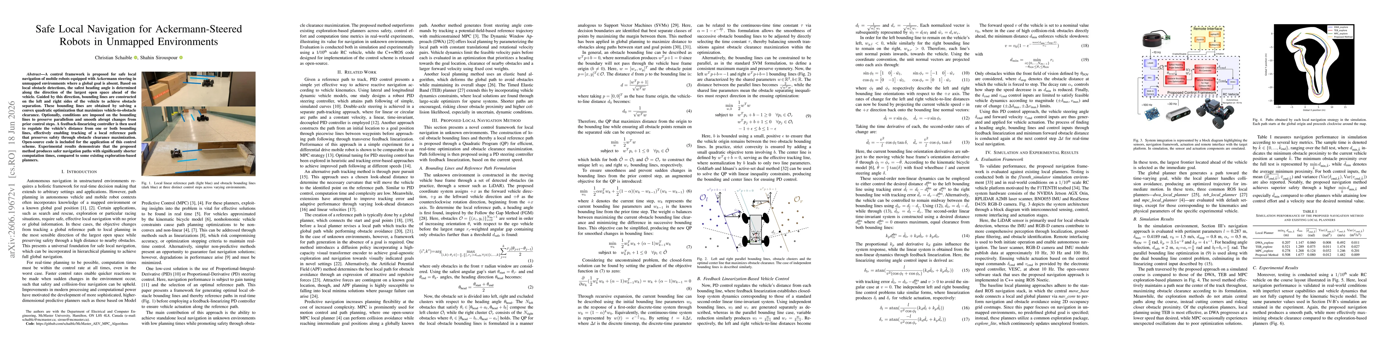
The approach computes a local reference heading by maximizing the open space ahead using a safe angular gap (Follow the Gap inspired). It then formulates a Quadratic Program to generate obstacle bounding lines on the vehicle sides that maximize obstacle clearance, with optional constraints to preserve parallelism and smooth changes from the previous step. A PD controller with feedback linearization tracks the local reference path by regulating distance to the bounding lines, ensuring safe local navigation for Ackermann-steered vehicles in unmapped environments. Open-source code accompanies the method, and real-time performance is demonstrated against exploration-based planners in simulation and 1/10th scale experiments.
Discussion 0