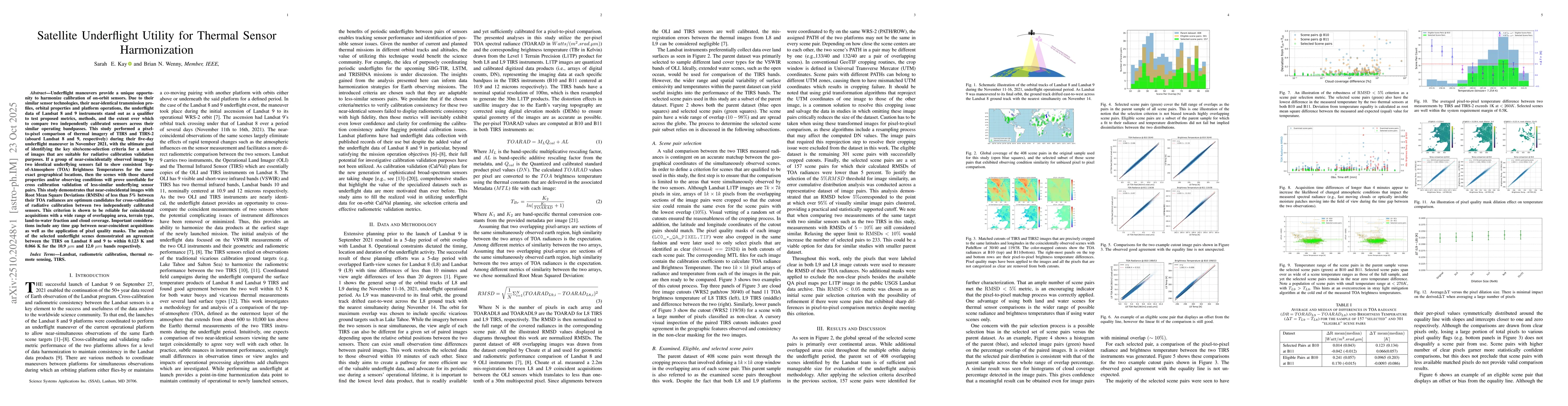
Underflight maneuvers provide a unique opportunity to harmonize calibration
of on-orbit sensors. Due to their similar sensor technologies, their
near-identical transmission profiles, orbital properties and platform
operations, the underflight data of Landsat 8 and 9 instruments stand out as a
qualifier to test proposed metrics, methods, and the extent over which to
compare two independently calibrated sensors across their similar operating
bandpasses. This study performed a pixel-to-pixel comparison of thermal imagery
of TIRS and TIRS-2 (aboard Landsat 8 and 9, respectively) during their five-day
underflight maneuver in November 2021, with the ultimate goal of identifying
the key site/scene-selection criteria for a subset of images that are suitable
for radiative calibration validation purposes. If a group of
near-coincidentally observed images by two identical underflying sensors fail
to show consistent Top-of-Atmosphere (TOA) Brightness Temperatures for the same
exact geographical locations, then the scenes with those shared properties
and/or observing conditions will prove unreliable for cross calibration
validation of less-similar underflying sensor pairs. This study demonstrates
that near-coincidental images with Root Mean Square Deviations (RMSDs) of less
than 5\% between their TOA radiances are optimum candidates for
cross-validation of radiative calibration between two independently calibrated
sensors. This criterion is shown to be reliable for coincidental acquisitions
with a wide range of overlapping area, terrain type, land-to-water fraction and
cloud coverage. Important considerations include any time gap between
near-coincident acquisitions as well as the application of pixel quality masks.
The analysis of the selected underflight scenes demonstrated an agreement
between the TIRS on Landsat 8 and 9 to within 0.123 K and 0.066 K for the
10.9um and 12.0um bands respectively.
Discussion 0