Segment Anything for Satellite Imagery: A Strong Baseline and a Regional Dataset for Automatic Field Delineation
Publication
Metrics
AI Quick Summary
This paper introduces a pipeline for automatic field delineation in satellite imagery using the Segment Anything Model (SAM), fine-tuned for this task. It also presents a new regional dataset, ERAS, for better generalization, which is now publicly available, offering a robust baseline for automated field mapping in agriculture.
Paper Preview
Abstract
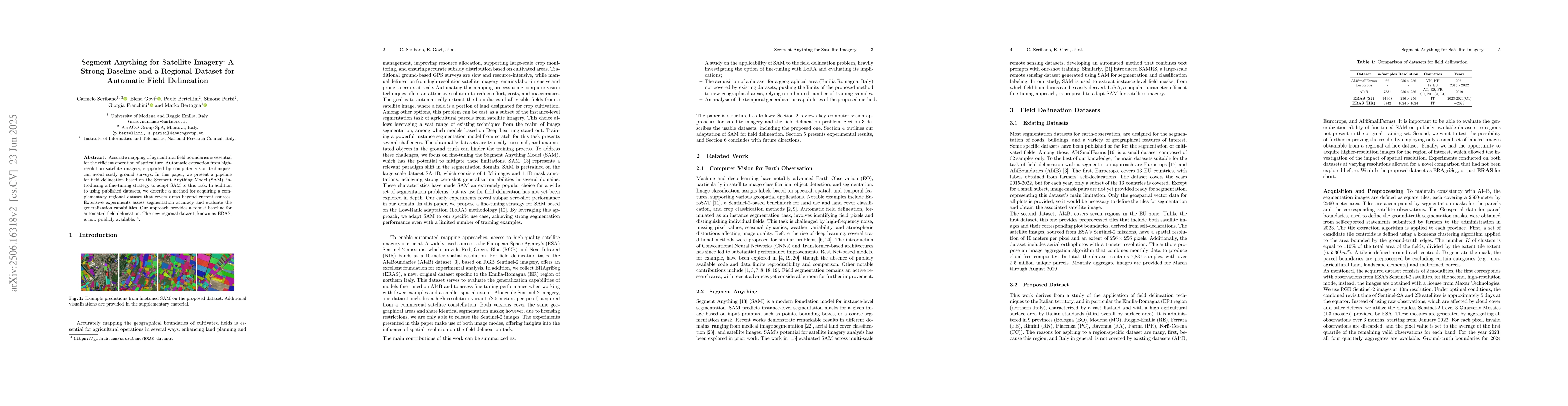
Accurate mapping of agricultural field boundaries is essential for the efficient operation of agriculture. Automatic extraction from high-resolution satellite imagery, supported by computer vision techniques, can avoid costly ground surveys. In this paper, we present a pipeline for field delineation based on the Segment Anything Model (SAM), introducing a fine-tuning strategy to adapt SAM to this task. In addition to using published datasets, we describe a method for acquiring a complementary regional dataset that covers areas beyond current sources. Extensive experiments assess segmentation accuracy and evaluate the generalization capabilities. Our approach provides a robust baseline for automated field delineation. The new regional dataset, known as ERAS, is now publicly available.
AI Key Findings
Get AI-generated insights about this paper's methodology, results, significance, and more — seven facets brought into focus.
Impact
Paper Details
Authors
PDF Preview
Citation Network
Current paper (gray), citations (green), references (blue)
Display is limited for performance on very large graphs.
Discussion 0