Segmentation-Aware Latent Diffusion for Satellite Image Super-Resolution: Enabling Smallholder Farm Boundary Delineation
Publication
Metrics
Paper Preview
Abstract
Delineating farm boundaries through segmentation of satellite images is a fundamental step in many agricultural applications. The task is particularly challenging for smallholder farms, where accurate delineation requires the use of high resolution (HR) imagery which are available only at low revisit frequencies (e.g., annually). To support more frequent (sub-) seasonal monitoring, HR images could be combined as references (ref) with low resolution (LR) images -- having higher revisit frequency (e.g., weekly) -- using reference-based super-resolution (Ref-SR) methods. However, current Ref-SR methods optimize perceptual quality and smooth over crucial features needed for downstream tasks, and are unable to meet the large scale-factor requirements for this task. Further, previous two-step approaches of SR followed by segmentation do not effectively utilize diverse satellite sources as inputs. We address these problems through a new approach, $\textbf{SEED-SR}$, which uses a combination of conditional latent diffusion models and large-scale multi-spectral, multi-source geo-spatial foundation models. Our key innovation is to bypass the explicit SR task in the pixel space and instead perform SR in a segmentation-aware latent space. This unique approach enables us to generate segmentation maps at an unprecedented 20$\times$ scale factor, and rigorous experiments on two large, real datasets demonstrate up to $\textbf{25.5}$ and $\textbf{12.9}$ relative improvement in instance and semantic segmentation metrics respectively over approaches based on state-of-the-art Ref-SR methods.
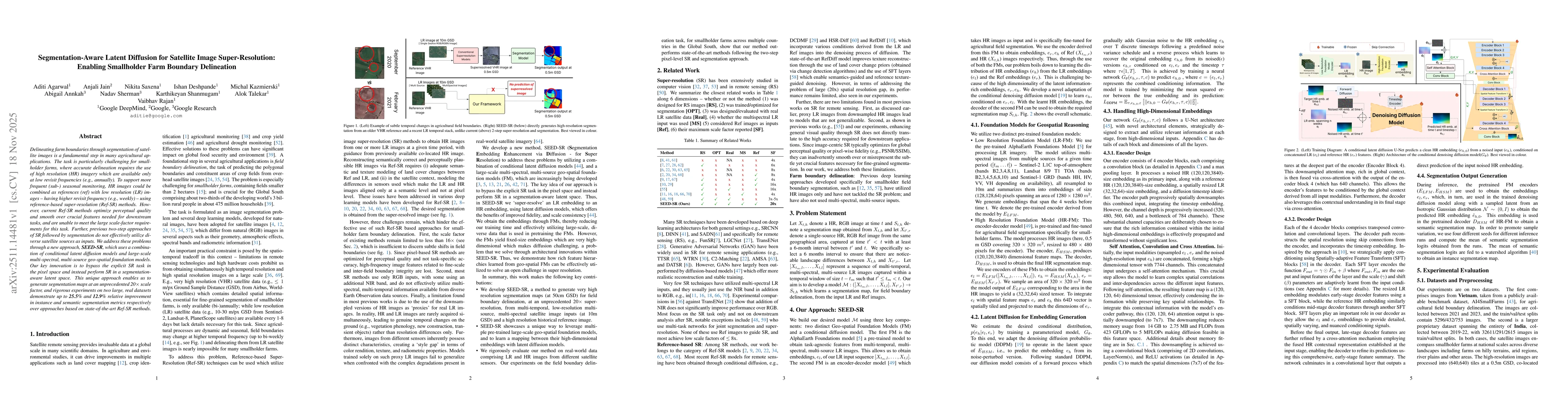
AI Key Findings
Get AI-generated insights about this paper's methodology, results, significance, and more — seven facets brought into focus.
Discussion 0