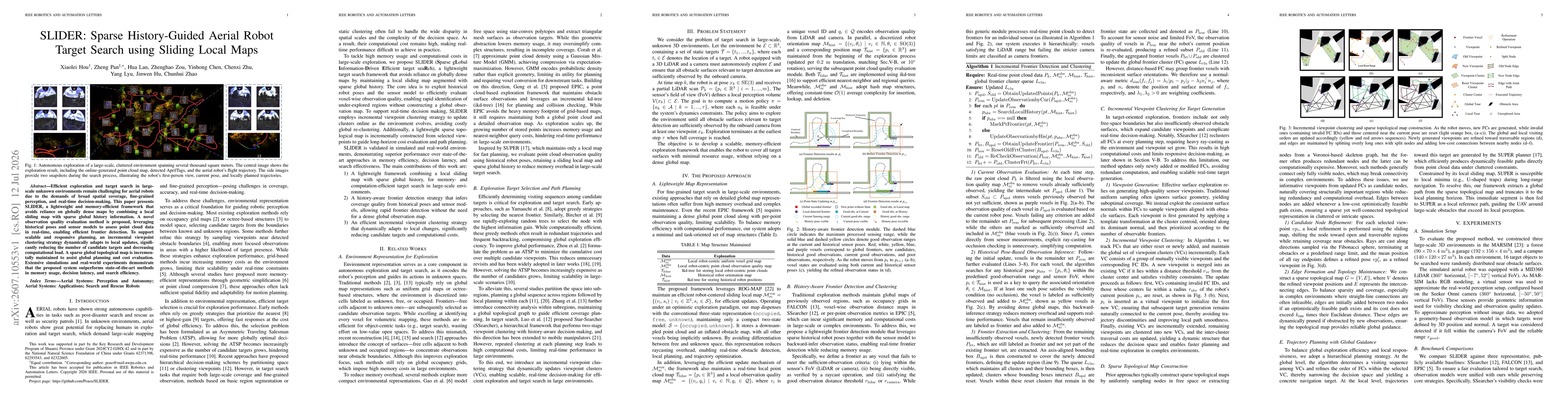
SLIDER combines a local sliding map with a sparse global history to avoid dense global maps, employs a novel observation quality evaluation using historical poses and sensor models, and uses incremental viewpoint clustering to update targets online with reduced computation. It also maintains a lightweight sparse topological map to aid global planning, enabling memory- and computation-efficient target search in large-scale environments.
SLIDER: Sparse History-Guided Aerial Robot Target Search using Sliding Local Maps
Publication
Metrics
Quick Answers
What methodology did the authors use?
SLIDER combines a local sliding map with a sparse global history to avoid dense global maps, employs a novel observation quality evaluation using historical poses and sensor models, and uses incremental viewpoint clustering to update targets online with reduced computation. It also maintains a lightweight sparse topological map to aid global planning, enabling memory- and computation-efficient target search in large-scale... More in Methodology →
What are the key results?
Demonstrates memory usage and computation time reductions compared with state-of-the-art baselines in both simulated and real-world experiments. — Real-world tests show successful detection of all targets with low planning latency and efficient flight trajectories in park and building environments. More in Key Results →
Why is this work significant?
Introduces a lightweight, history-guided exploration framework that enables real-time, scalable target search for aerial robots in large unknown environments without relying on dense global maps, addressing memory and latency bottlenecks in previous methods. More in Significance →
What are the main limitations?
The approach may face performance degradation under extreme occlusion or deadlock scenarios where local observations are severely limited. — Dependence on pose history and sensor models may introduce robustness challenges in highly dynamic or sensor-fault conditions. More in Limitations →
Abstract
Efficient exploration and target search in large-scale unknown environments remain challenging for aerial robots due to the demands of broad spatial coverage, fine-grained perception, and real-time decision-making. This paper presents SLIDER, a lightweight and memory-efficient framework that avoids reliance on globally dense maps by combining a local sliding map with sparse global history information. A novel observation quality evaluation method is proposed, leveraging historical poses and sensor models to assess point cloud data in real-time, enabling efficient frontier detection. To support scalable and responsive planning, an incremental viewpoint clustering strategy dynamically adapts to local updates, significantly reducing the number of candidate targets and decreasing computational load. A sparse global topological map is incrementally maintained to assist global planning and cost evaluation. Extensive simulations and real-world experiments demonstrate that the proposed system outperforms state-of-the-art methods in memory usage, decision latency, and search efficiency.
Key Findings, in focus
Seven facets of this paper, analysed and brought into focus by AI.
Introduces a lightweight, history-guided exploration framework that enables real-time, scalable target search for aerial robots in large unknown environments without relying on dense global maps, addressing memory and latency bottlenecks in previous methods.
- Demonstrates memory usage and computation time reductions compared with state-of-the-art baselines in both simulated and real-world experiments.
- Real-world tests show successful detection of all targets with low planning latency and efficient flight trajectories in park and building environments.
- Incremental viewpoint clustering reduces candidate target generation time by substantial factors and improves overall planning speed.
Introduces a lightweight, history-guided exploration framework that enables real-time, scalable target search for aerial robots in large unknown environments without relying on dense global maps, addressing memory and latency bottlenecks in previous methods.
A lightweight framework that replaces dense global maps with a sliding local map and a sparse global history, a history-aware frontier detection method, and an incremental viewpoint clustering strategy, complemented by a sparse topological map for global planning.
Combines sliding local maps with sparse global history and a history-informed frontier evaluation to achieve memory- and time-efficient large-scale aerial target search, along with incremental clustering that adapts to local updates for real-time decision-making.
- The approach may face performance degradation under extreme occlusion or deadlock scenarios where local observations are severely limited.
- Dependence on pose history and sensor models may introduce robustness challenges in highly dynamic or sensor-fault conditions.
- Explore conservative free-space estimation to mitigate observation misjudgments in challenging environments.
- Enhance robustness under extreme occlusion and dynamic changes, and investigate failure recovery strategies.
- Investigate integration with more diverse sensor suites to generalize observation quality evaluation.
Discussion 0